Der Verband Unbemannte Luftfahrt (VUL), eine gemeinsame Initiative des Bundesverbandes der Deutschen Luftverkehrswirtschaft (BDL) und des Bundesverbandes der Deutschen Luft- und Raumfahrtindustrie (BDLI), hat eine neue Studie zum deutschen Drohnenmarkt vorgelegt und eröffnet damit interessante Erkenntnisse.
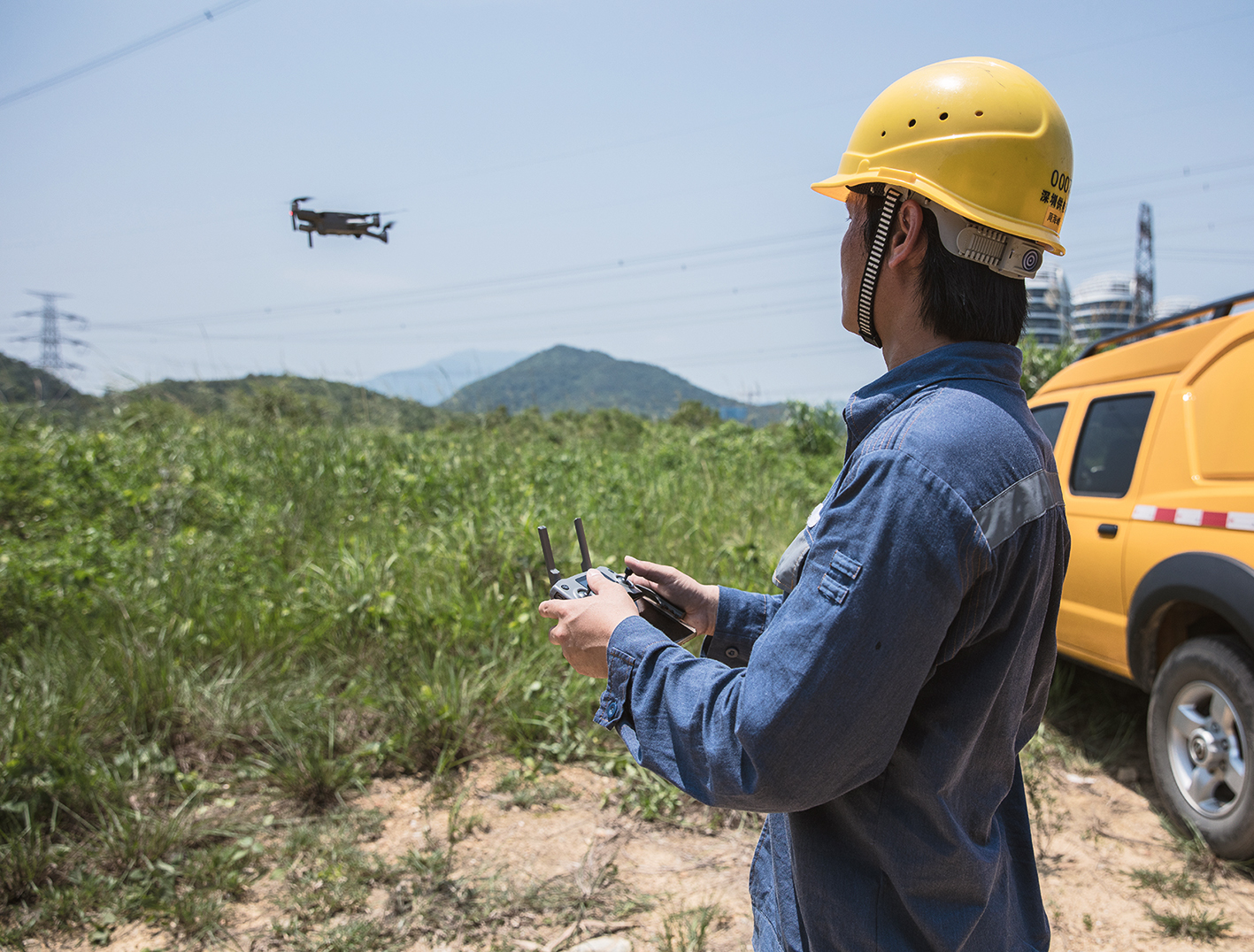
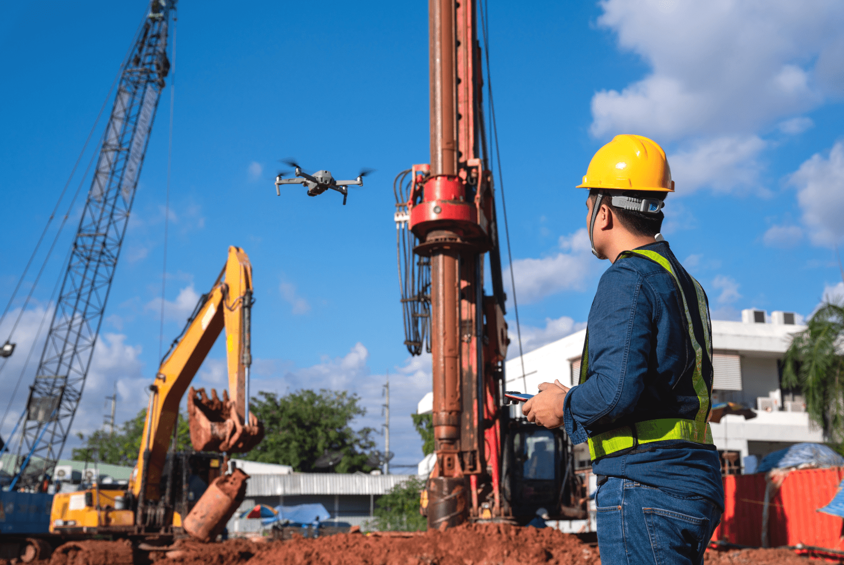
Die Anzahl der Drohnen in Deutschland beläuft sich derzeit auf circa 430.000. Der Großteil davon ist in privatem Gebrauch und dient in erster Linie für das Aufnehmen von Bildern mit einer kleinen Kamera. Kommerzielle Drohnen werden laut einer Umfrage vor allem für Vermessungen und Inspektionen eingesetzt.
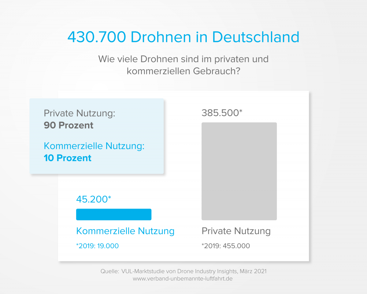
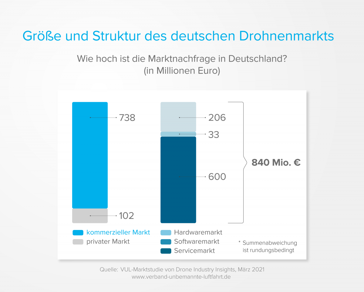
Auf insgesamt 840 Millionen Euro wird der deutsche Drohnenmarkt geschätzt. Knapp 88 % davon entfallen auf den kommerziellen Bereich (738 Millionen Euro). Im internationalen Vergleich der kommerziellen Drohnenmärkte liegt Deutschland auf Platz 4, nach den USA, China und Japan.
DIE ENTWICKLUNG DES DROHNENMARKTES IN DEUTSCHLAND
Die private Nutzung von Drohnen hat seit 2019 abgenommen (-14,5 %). Der private Drohnenmarkt scheint gesättigt zu sein. Von 2020 bis 2025 soll die Anzahl der privaten Drohnen nochmals um 16 % auf 324.000 Stück sinken.
Die kommerzielle Nutzung von Drohnen ist seit 2019 stark angestiegen (+138 %). Und dieser Trend soll sich auch in den nächsten Jahren fortsetzen. Von 2020 bis 2025 soll die Anzahl der kommerziell genutzten Drohnen um 200 % auf 132.000 Stück steigen.
Der Bereich Urban & Regional Air Mobility liegt im Fokus von Investoren, sodass Deutschland damit international auf Platz 2 bei Investitionen in diesem Bereich liegt.
Der deutsche Drohnenmarkt wird weiter wachsen und sich bis 2025 auf über 1,6 Milliarden Euro fast verdoppeln. Dabei fallen allein 1,55 Milliarden auf den kommerziellen Markt.
VOM SPIELZEUG ZUM FLUGTAXI
Für uns als Unternehmen im Drohnenmarkt ist dies eine sehr interessante Entwicklung. Auch wenn bisher nur jede neunte Drohne, und laut Prognose 2025 jede dritte Drohne, in gewerblicher Nutzung ist, wird es immer komplexere Anwendungsfälle geben.
Früher nur für Bildaufnahmen, lassen sich heute schon ganze 3D-Modelle mit Drohnen erstellen oder Inspektionen per Liveübertragung durchführen (mehr Informationen). Drohnen werden für immer anspruchsvollere Tätigkeiten eingesetzt, was z. B. auch die deutliche Entwicklung des Passagierdrohnenmarktes zeigt. Im Jahr 2020 wurde knapp 1 Milliarde US-Dollar in diesen Markt investiert. Die Hälfte davon in deutsche Unternehmen.
Wann es die ersten Flugtaxis geben wird, bleibt abzuwarten. Laut Prognose, ist vor 2030 nicht mit kommerziell profitablen Geschäftsmodellen zu rechnen. Weitere Ergebnisse der VUL-Marktstudie finden Sie unter https://www.bdl.aero/de/publikation/analyse-des-deutschen-drohnenmarktes/.
Wir wünschen Ihnen weiterhin sichere Flüge,
Ihr FlyNex Team