News und Updates von FlyNex aus der Praxis.
Hier erfahren Sie alles über die erfolgreichen Projekte und Kunden von FlyNex, aktuelle Drohnenregelungen, sowie Hintergrundinformationen zu Datenschutz und Automatisierung. Bleiben Sie mit unseren News und Updates auf dem neuesten Stand.
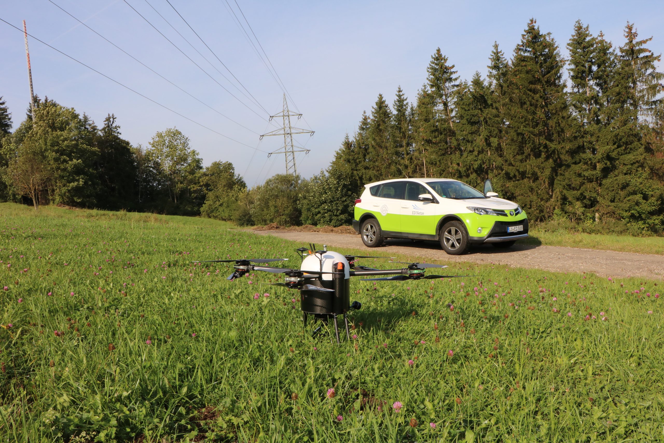
15.10.2021
Im September absolvierte FlyNex gemeinsam mit Globe UAV und dem Strombetreiber ED Netze erfolgreich eine Drohneninspektion von über 25 km Freileitungen und circa 100 Strommasten.