Das Projekt DaViLuS wurde vom Bundesministerium für Verkehr und digitale Infrastruktur (BMVI) gefördert und steht im Kontext mit dem „Aktionsplan für Drohnen und Flugtaxis“ der Bundesregierung.
FlyNex und der Kartenspezialist HERE Technologies haben zusammen mit der Northern Business School für DaViLuS, Deutschlands Luftraum für Drohnen in 3D visualisiert. Das Resultat, die vollständige 3D-Karte inkl. Luftbereichen, Topografie und wichtigen Gebäuden steht mittlerweile jedem Nutzer kostenlos und vollumfänglich zur Verfügung. Unter https://davilus.flynex.de/ ist die 3D-Karte kostenfrei einsehbar.
Was ist DaViLuS?
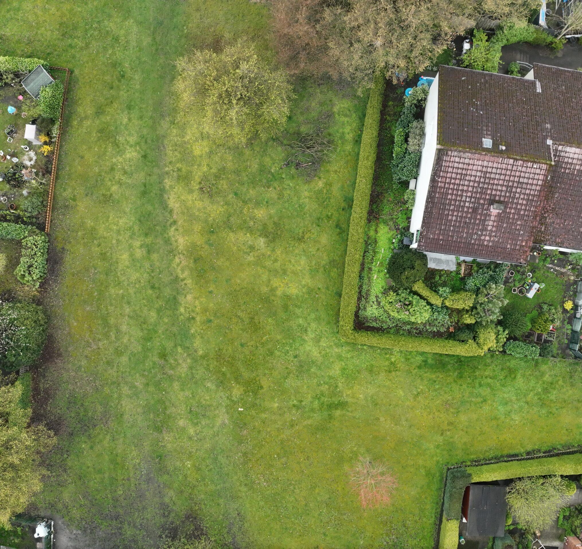
DaViLuS steht für Datenvisualisierung von Luftraumstruktur und ist eine Karte, die den unteren Luftraum zum ersten Mal in 3D visualisiert. Das heißt, dass sowohl Hügel und Berge als auch einzelne Gebäude in 3D dargestellt sind. Wie in der Map2Fly sind die Regularien und Zonen eingezeichnet, sodass die Auflagen für die unbemannte Flugfahrt einsehbar sind. Insgesamt wurden über 21 Millionen Objekte klassifiziert und dargestellt.
Wozu dient die Karte?
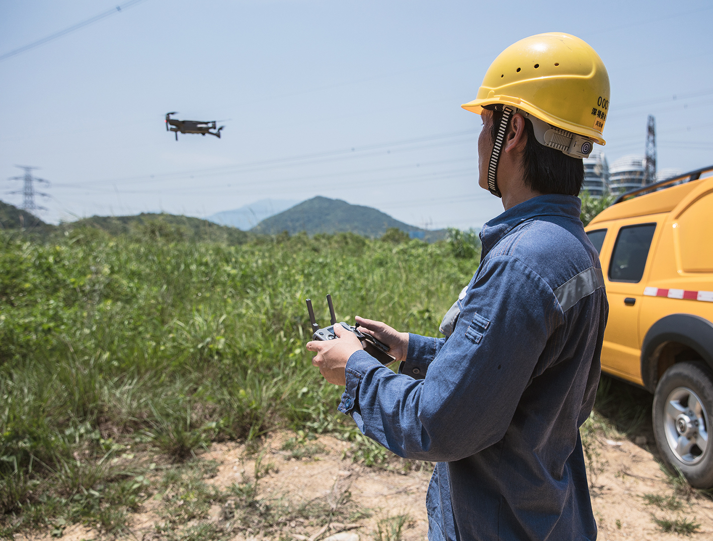
Durch die Visualisierung der unteren Luftraumstruktur können autonome Bewegungen ermöglicht werden. Drohnenflüge sind aufgrund der aktuellen Anwendungsfälle und der rechtlichen Auflagen direkt von den Gegebenheiten der Erdoberfläche abhängig. Um Flüge zu automatisieren, müssen nicht nur Hügel, Berge und Höhen sondern auch Gebäude und Risikoareale in der Planung berücksichtigt werden. Denn die Oberflächengegebenheiten am Boden erzeugen in Verbindung mit den rechtlichen Auflagen neue Lufträume, welche explizit mit Auflagen für den Einsatz von Drohnen einhergehen. Notfalls muss die Drohne zukünftig selbst in der Lage sein, sich im Raum zu orientieren und Räume, Auflagen und Hindernisse zu erkennen. Dies kann sowohl aktiv als auch passiv geschehen.
DaViLuS ist ein erster Schritt in Richtung Autonomes Fliegen, bei dem sich die Drohne selbst sicher im Luftraum orientiert und navigiert. Basierend auf den verarbeiteten Geoinformationen und Daten lassen sich neue Dienste und Anwendungen in der Zukunft entwickeln, die genau das realisieren.
Wie wurde die Karte erstellt?
Die Grundkarte basiert auf einem Geländemodell in 3D, also die Erdoberfläche in echten Höhen, welche in einer dafür spezialisierten Rendering-Software verarbeitet wird. Die Karte selbst enthält präzise 3D-Daten zu Objekten von HERE Technologies. Monumente und diverse Sehenswürdigkeiten konnten so in der Karte abgebildet werden.
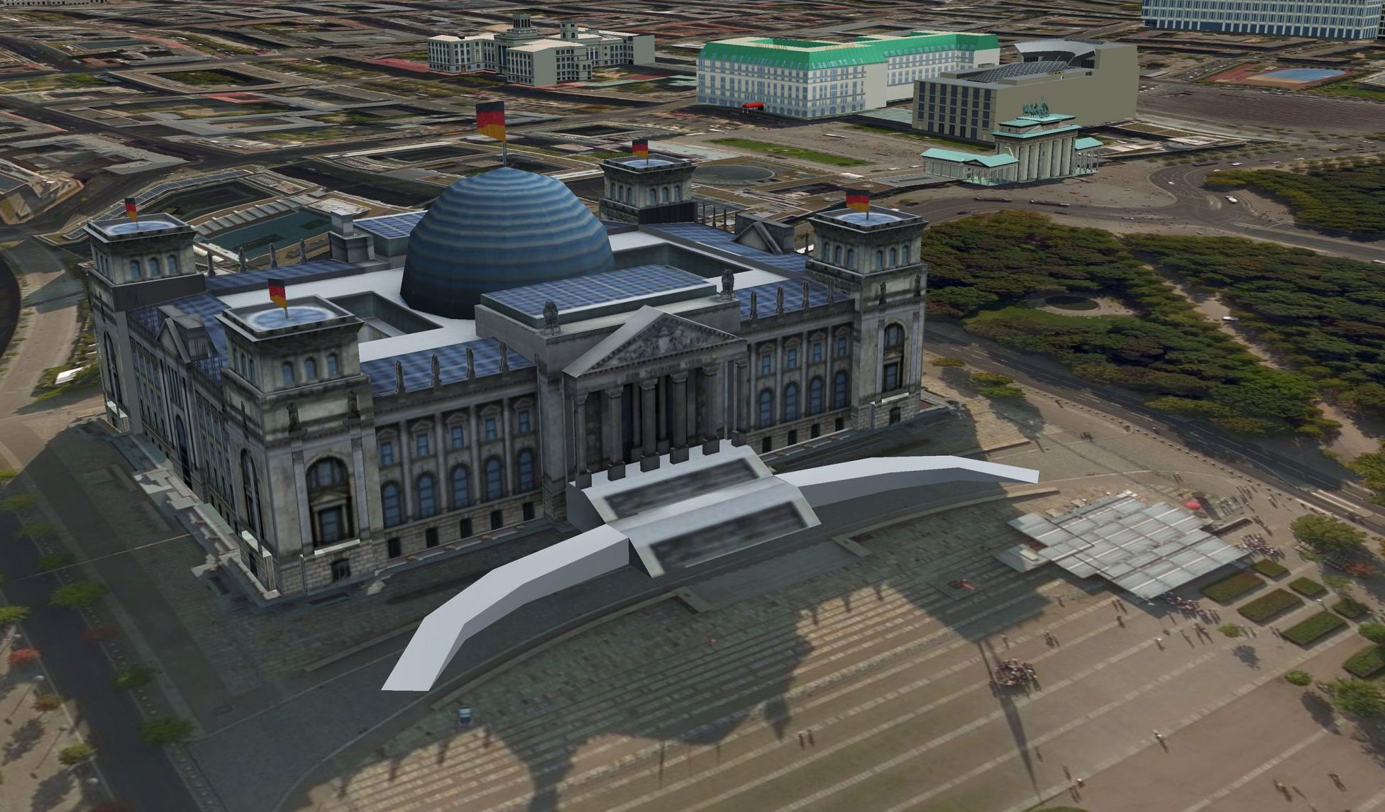
Die Lufträume wurden aus den 2D-Datensätzen der Map2Fly erstellt. Dafür wurden die bereits existierenden Polygone, die in der Map2Fly abgebildet sind, mit Höhendaten versehen (dadurch angehoben) und auf das Raster der Oberfläche gelegt. So entstehen die genauen Luftraumhöhen unter Berücksichtigung der Erdoberflächenstruktur.
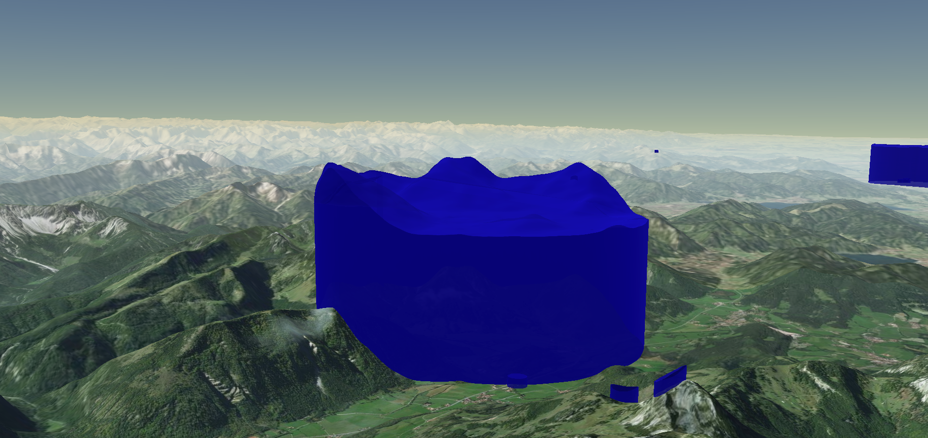
Dass sich die Luftraumdarstellung der Erdoberfläche anpasst, ist aus mehreren Gründen sinnvoll. Zunächst kann genau gesehen werden, wie hoch tatsächlich geflogen werden darf. Die Visualisierung vereinfacht das Verständnis und die Planung von Drohnenflügen.
Darüber hinaus lässt sich dieses Verfahren auch auf alle 3D-Objekte und weitere Oberflächenstrukturen anwenden.
Was folgt dadurch? Ein Ausblick
Im Projekt selbst wurden über 21 Millionen Objekte für ganz Deutschland verarbeitet. Der Detailgrad und die Performance können darüber hinaus weiter erhöht und die Karte weiter verfeinert und verbessert werden.
In Zukunft lassen sich ganze Stadtmodelle in 3D mit den korrekten Luftraumstrukturen komplett abbilden. So soll es Piloten und Dienstleistern auch möglich sein, dreidimensionale Drohnen-Aufnahmen (Photogrammetrische Modelle) in die Karte zu integrieren und die Funktionalität für alle zu verbessern. Damit kann die Navigation für Drohnen in 3D, abhängig von der Luftraumstruktur, weiter entwickelt und autonomes Fliegen ausgebaut werden. Flugtaxis und Paketdrohnen wissen somit wie und wo sie fliegen dürfen. Verschaffen Sie sich selbst einen Eindruck unter https://davilus.flynex.de/.
Wir wünschen viel Spaß beim Entdecken der DaViLuS-Karte,
Ihr FlyNex Team
Weiterführende Informationen:
BMVI: https://www.bmvi.de/SharedDocs/DE/Artikel/DG/UAV-Projekte/davilus.html