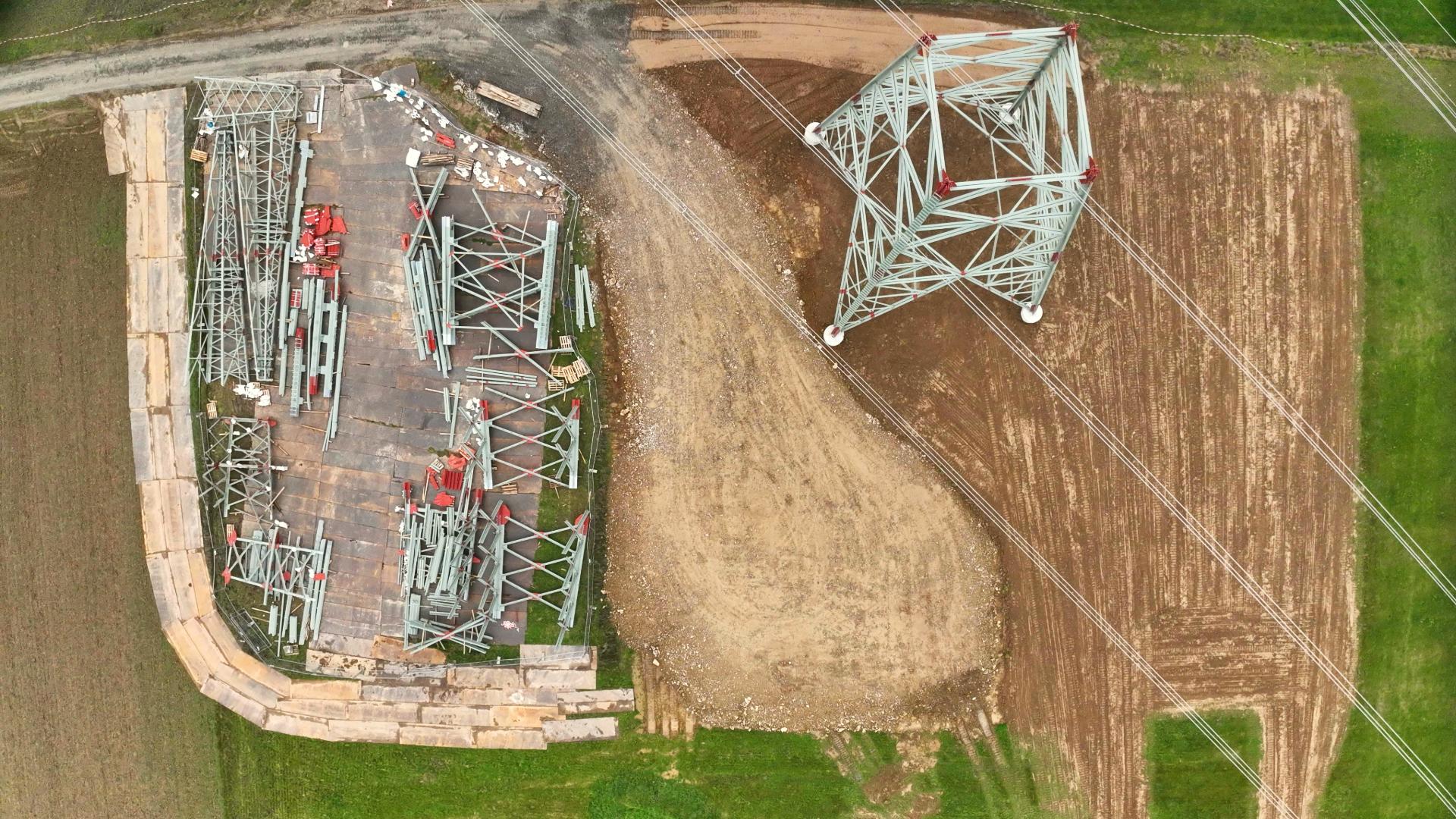
Brandenburg’s next! Since January 2020 the new, improved digital orthophotos for Brandenburg were uploaded onto our Map2Fly. The latest versions of the aerial photos show Brandenburg in a sharper, distortion-free view from above. Brandenburg is now the eighth federal state in Germany with more detailed images.
Better view for better planning
Up-to-date and high-resolution maps are extremely helpful for flight planning. It makes it the easier to reduce risks and obtain flight permissions. We wish you a good and safe flight!
Your FlyNex Team
Related posts.
05.12.2022
The obligation to ensure safety is a topic that is of undeniable relevance, especially in the real estate industry. We explain why it's better to be safe than sorry. We also show how companies can meet the increasing demand for roof and facade inspections.
15.08.2022
When every minute counts: Efficient operational planning can make the difference in fire and disaster control because saving lives is at stake. FlyNex and hhpberlin show how to save lives with digital twins.
22.07.2022
Drones are increasingly used to supplement helicopters and climbers for network inspection. In the process, overhead line masts are flown over by drone to, for example, detect insulators' damage and check the mast for stability. But what happens afterward with the drone recordings, and how can drone data be used for more efficient inspection processes?
23.05.2022
Efficiently and sustainably manage around 55 km² of a densely overgrown forest? Using the example of Sachsenwald, FlyNex and Waldkontor show how forestry works much more sustainably and efficiently using aerial photographs and AI.
27.04.2022
How can the energy transition be mastered properly? And what role does the use of drones play in this task? FlyNex supports the digitization of processes to meet the increasing need for inspection in the future.
Related posts.
05.12.2022
The obligation to ensure safety is a topic that is of undeniable relevance, especially in the real estate industry. We explain why it's better to be safe than sorry. We also show how companies can meet the increasing demand for roof and facade inspections.
15.08.2022
When every minute counts: Efficient operational planning can make the difference in fire and disaster control because saving lives is at stake. FlyNex and hhpberlin show how to save lives with digital twins.
22.07.2022
Drones are increasingly used to supplement helicopters and climbers for network inspection. In the process, overhead line masts are flown over by drone to, for example, detect insulators' damage and check the mast for stability. But what happens afterward with the drone recordings, and how can drone data be used for more efficient inspection processes?
23.05.2022
Efficiently and sustainably manage around 55 km² of a densely overgrown forest? Using the example of Sachsenwald, FlyNex and Waldkontor show how forestry works much more sustainably and efficiently using aerial photographs and AI.