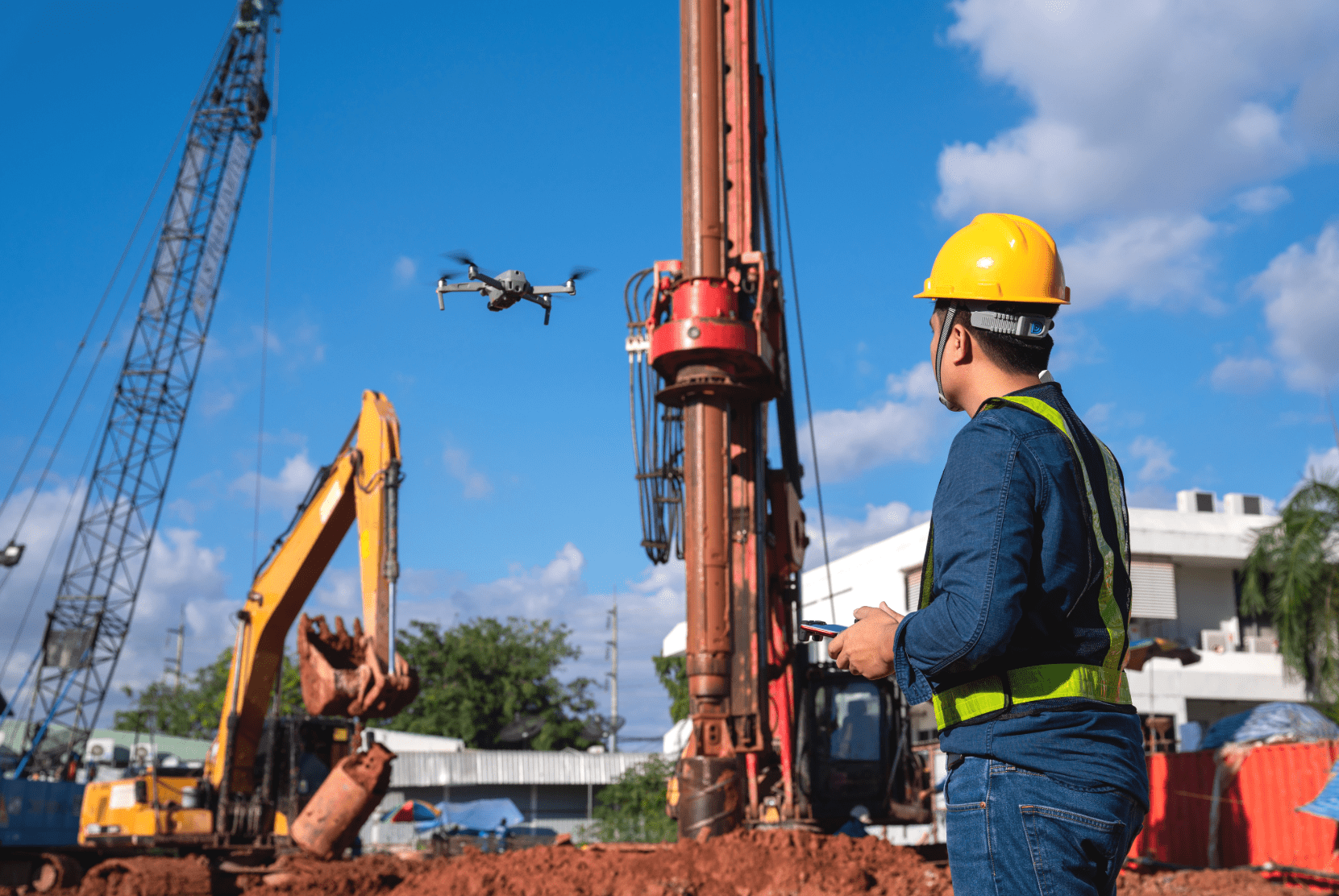
Saxony has it now too! In November, the new, improved digital orthophotos for the map view of Saxony were uploaded. The latest versions of the aerial photos show Saxony in a sharper, distortion-free view from above. Saxony is now the seventh federal state in Germany with more detailed images. In the course of further development, other regions will also follow step by step. We will announce any updates about this accordingly.

Better view for better planning

Not only is proper visibility important for flights, but it is also a crucial advantage for planning. Especially in densely built-up urban areas, improved orientation and precise flight planning are essential for permits and risk avoidance. Have a safe flight!

Your FlyNex Team

Newsletter.

Subscribe to our newsletter to stay updated on all drone industry news and FlyNex!

Related posts.

  • Drohnenperspektive auf ein Quartier

    29.09.2023

    Digital district surveying through drone technology enables precise inventory recording and effective area management, allowing companies to save costs, increase transparency, and make more sustainable decisions.

  • verkehrssicherungspflicht in der immobiilienwirtschaft - FlyNex

    05.12.2022

    The obligation to ensure safety is a topic that is of undeniable relevance, especially in the real estate industry. We explain why it's better to be safe than sorry. We also show how companies can meet the increasing demand for roof and facade inspections.

  • FlyNex - Saving Lives with Digital Twins

    15.08.2022

    When every minute counts: Efficient operational planning can make the difference in fire and disaster control because saving lives is at stake. FlyNex and hhpberlin show how to save lives with digital twins.

  • Grid inspection by drone

    22.07.2022

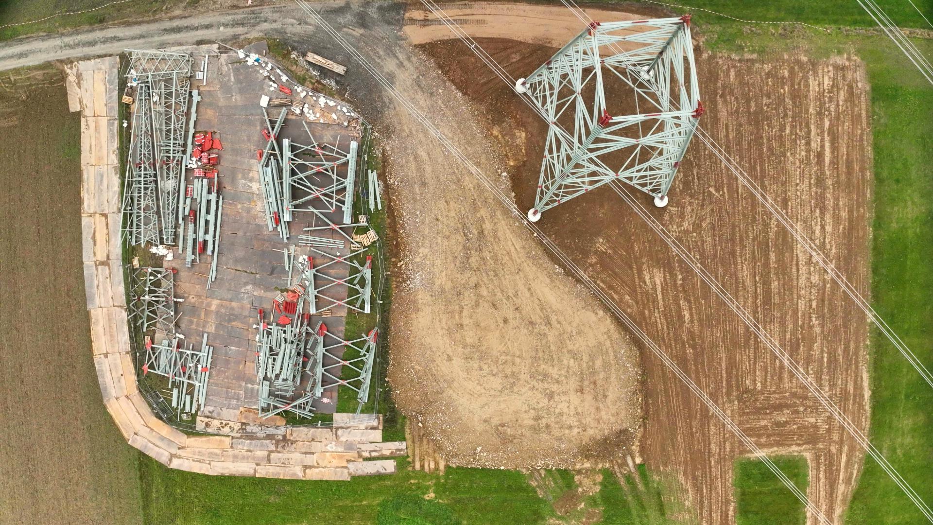
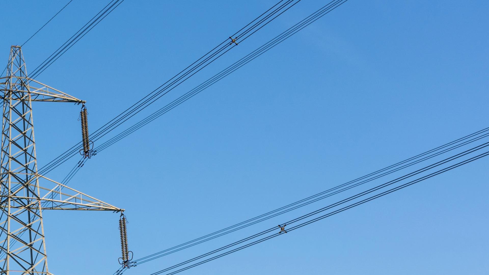
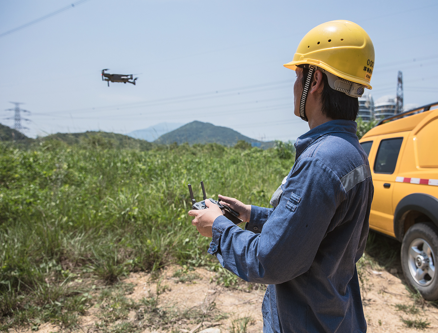
    Drones are increasingly used to supplement helicopters and climbers for network inspection. In the process, overhead line masts are flown over by drone to, for example, detect insulators' damage and check the mast for stability. But what happens afterward with the drone recordings, and how can drone data be used for more efficient inspection processes?

  • Aerial data and AI against Sachsenwald storm damage

    23.05.2022

    Efficiently and sustainably manage around 55 km² of a densely overgrown forest? Using the example of Sachsenwald, FlyNex and Waldkontor show how forestry works much more sustainably and efficiently using aerial photographs and AI.

Related posts.

  • Drohnenperspektive auf ein Quartier

    29.09.2023

    Digital district surveying through drone technology enables precise inventory recording and effective area management, allowing companies to save costs, increase transparency, and make more sustainable decisions.

  • verkehrssicherungspflicht in der immobiilienwirtschaft - FlyNex

    05.12.2022

    The obligation to ensure safety is a topic that is of undeniable relevance, especially in the real estate industry. We explain why it's better to be safe than sorry. We also show how companies can meet the increasing demand for roof and facade inspections.

  • FlyNex - Saving Lives with Digital Twins

    15.08.2022

    When every minute counts: Efficient operational planning can make the difference in fire and disaster control because saving lives is at stake. FlyNex and hhpberlin show how to save lives with digital twins.

  • Grid inspection by drone

    22.07.2022

    Drones are increasingly used to supplement helicopters and climbers for network inspection. In the process, overhead line masts are flown over by drone to, for example, detect insulators' damage and check the mast for stability. But what happens afterward with the drone recordings, and how can drone data be used for more efficient inspection processes?