
Hundreds of buildings, distributed sites, patchily documented: inspecting roofs and facades and evaluating them manually takes weeks. Today, there is a better way. Drones capture roof surfaces, façades and outdoor facilities automatically, Vision AI analyses the images directly in the FlyNex platform: defects, thermal bridges, area measurements – in a single pass, without scaffolding, without media discontinuity.
Hundreds of buildings, distributed sites, patchily documented: inspecting roofs and facades and evaluating them manually takes weeks. Today, there is a better way. Drones capture roof surfaces, façades and outdoor facilities automatically, Vision AI analyses the images directly in the FlyNex platform: defects, thermal bridges, area measurements – in a single pass, without scaffolding, without media discontinuity.
How it works:
Data capture
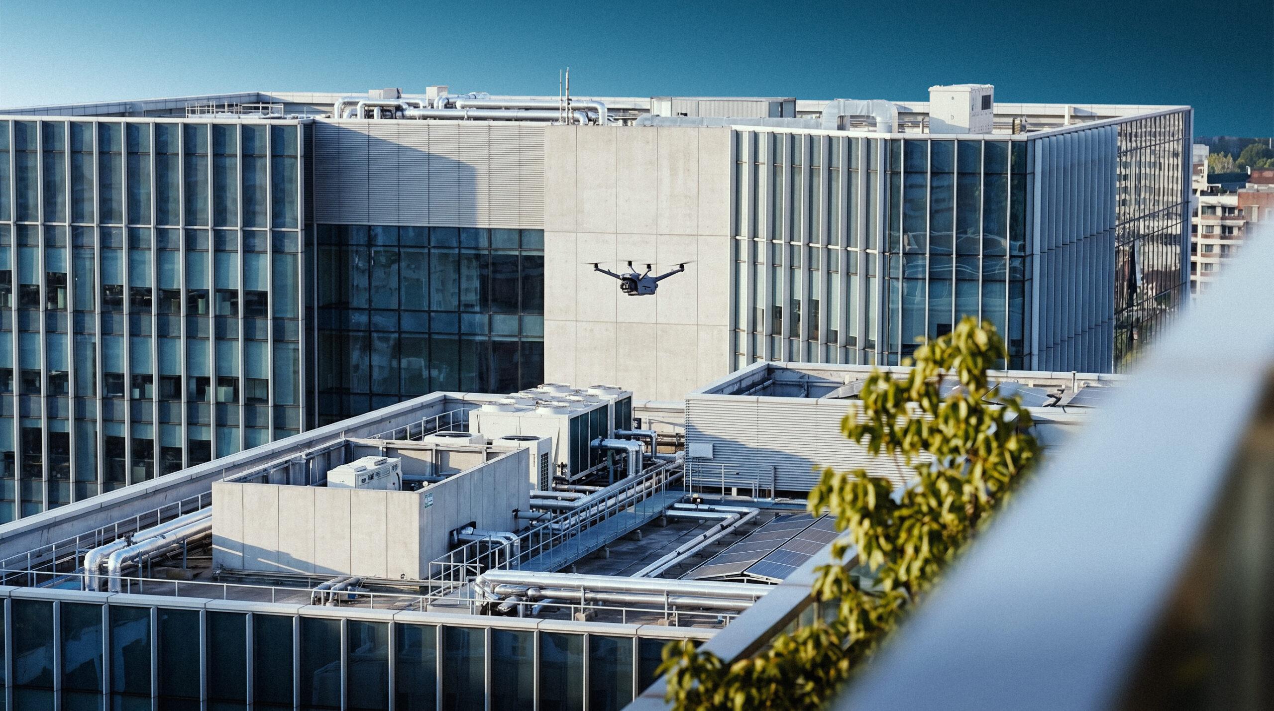
The property is systematically flown over by drone – roof surfaces, facades and outdoor facilities in a single pass.
RGB and thermal sensors capture visible damage and energy-related anomalies simultaneously. All image and sensor data is transferred directly to the FlyNex Cloud and is centrally available for further processing.
Data analysis
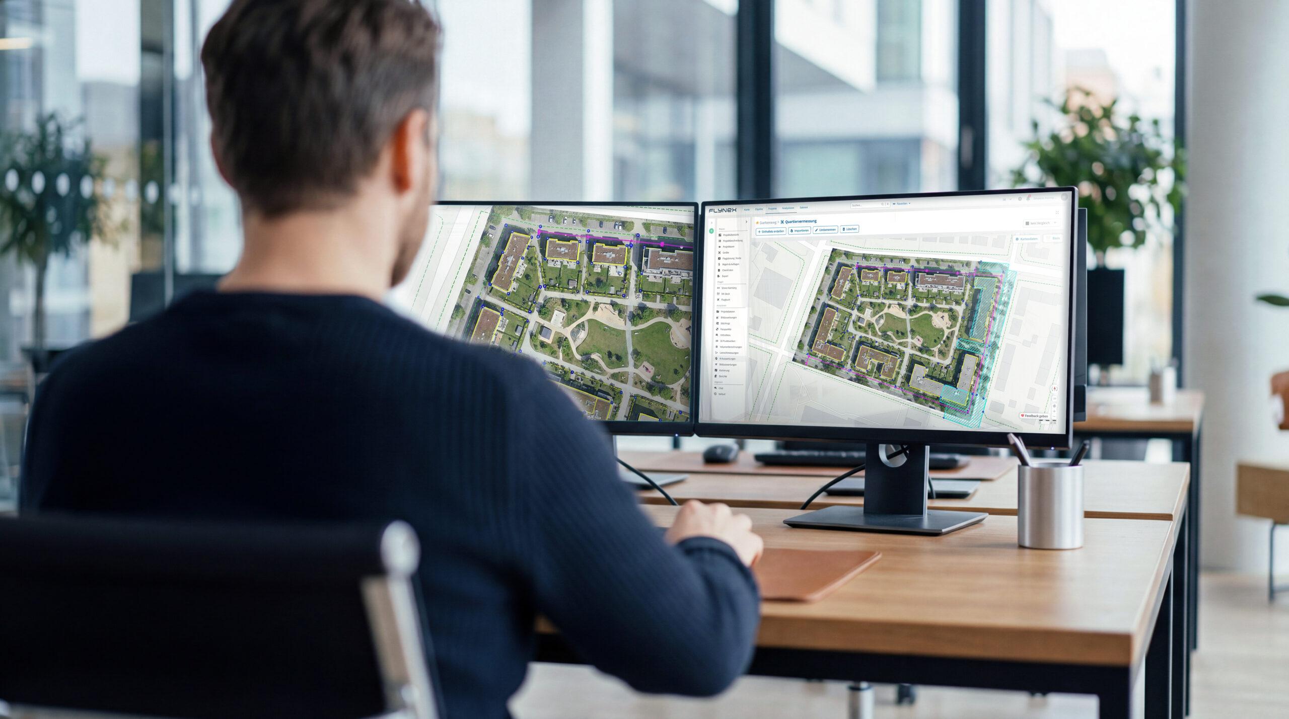
Vision AI analyses the image material automatically with a clear focus on three result dimensions:
All results are georeferenced, time-stamped and located in the platform in an audit-proof manner.
Reporting & migration
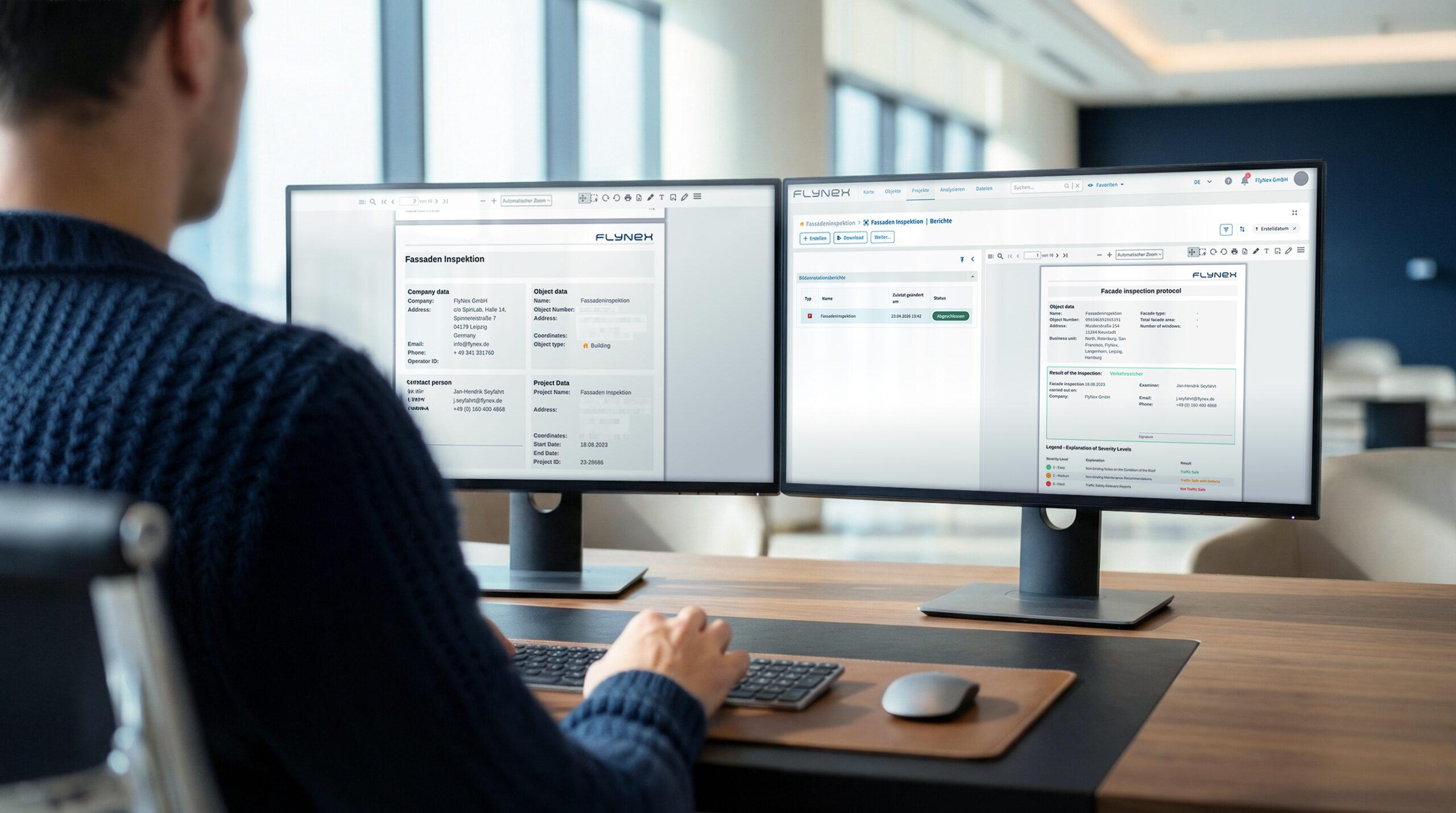
FlyNex generates automated damage reports, thermography reports and area schedules as PDF – audit-proof, with georeference and time stamp. Via standardised interfaces, all results flow directly into existing CAFM, ERP or EAM systems. No media discontinuity, no manual transfer.
Export formats include PDF, CSV, SHP, DXF and GeoJSON, among others. Connection to systems such as SAP, Hexagon, Planon or pit-FM is carried out via API and can be fully automated.
system specifications:
Capture:
RGB + thermal (simultaneous), optionally LiDAR. GSD from 0.5 cm/px depending on flight altitude.
Enterprise Platform:
Object, project and flight planning, fleet management, AI analysis, ticketing, reporting, among other.
Vision AI:
Object Detection, Image Segmentation, Thermografie-Analyse – Defektklassifizierung, Flächenklassifizierung nach Objektartenkatalog, Schadensklassen-Priorisierung. Custom-Trainable, DSGVO-konform.
Reporting & migration:
Damage reports, thermography reports, area schedules. API/SDK connection, e.g. to CAFM, ERP, EAM + export formats such as PDF, CSV.
Benefits:
Traffic-route safety at the push of a button
Damage to roofs and facades is detected automatically, prioritised by damage class and provided as a legally compliant inspection report without an on-site walkthrough.
Energy status in a single pass
Thermography and RGB capture take place simultaneously by drone. Thermal bridges and leaks are marked automatically and results are available within minutes.
Area data that is accurate
Outdoor areas are measured and classified via image segmentation according to the object type catalogue, with exact measurements. Directly usable for tendering and billing.
FlyNex Vision AI is already in use at, among others:

Full-Service:
FlyNex is a complete automation ecosystem:
FlyNex
Enterprise
Platform
Modular all-in-one platform for planning, capture, analysis and reporting with full control over data retention.
FlyNex
Custom
Vision AI
Managed custom AI for precise image data analysis: pre-trained or individually trained with over 95% accuracy and 100% full control over data retention.
FlyNex
Integration Services
From hardware consulting to API integration: we model and automate your individual infrastructure workflows end-to-end.
FlyNex
Operation Services
Professional data capture by drone, lidar & GNSS – including processing, AI classification and 3D modelling from a single source.
Get in touch now
Start now with intelligent damage detection.
Do you have questions? Let’s discuss your specific use case together in a non-binding initial conversation.
0% sales pitch. 100% focused on your assets and use cases.
Start now with intelligent damage detection.
Do you have questions? Let’s discuss your specific use case together in a non-binding initial conversation.
0% sales pitch. 100% focused on your assets and use cases.