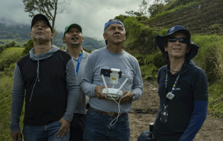
Mit Drohne und KI gegen die Folgen des Klimawandels
Wie lassen sich die Folgen des Klimawandels so eindämmen, dass die Versorgungssicherheit zahlreicher Menschen zukünftig weiter gewährleistet werden kann? Gemeinsam mit FlyNex unterstützen APD und FAO lateinamerikanische Landwirt/-innen dabei, Agrarflächen digitalisiert zu analysieren, um Ernteausfälle verhindern zu können.
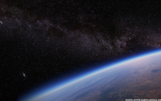
Neues Feature für Map2Fly Pro und Enterprise
Ab jetzt können Sie KML-Dateien in Map2Fly-Projekte importieren. Die neue Import-Funktion steht ab sofort allen Nutzern der FlyNex Enterprise Suite und Map2Fly Pro zur Verfügung.
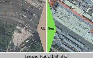
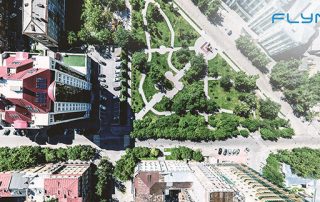
Neue Orthofotos für Sachsen
Sachsen hat’s jetzt auch! Wir haben in unserer WebApp unter www.map2fly.de die neuen Luft-Bilder von Sachsen eingespielt. Mit dem Release der neuen DOP (Digitale Orthofotos) für Sachsen sind aktuellste, verzerrungsfreie Aufnahmen für detaillierte Flug-Planungen möglich.
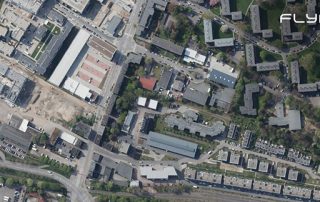
Geodaten – Wo kommen sie her und was ist das?
Von einfachen Wegbeschreibungen über Grundstücksdaten bis hin zu komplexen Fachthemen, wie die Risswerkaufnahme oder die Baufortschrittsdokumentation mit Drohnen: Geodaten begegnen uns bei der Arbeit oder im Alltag und sind in so ziemlich jeder Branche zu finden! Vorsicht: Nicht alle Geodaten sind zu gebrauchen! [ ... ]
GEODATEN: Wichtige Fakten für eine Zukunft mit Drohnen
Geodaten für unbemannte Luftfahrtsysteme Unbemannte Luftfahrtsysteme, umgangssprachlich oft Drohnen oder Copter genannt, werden rechtlich der Luftfahrt zugeordnet. Daher ist es relativ naheliegend, sich für den Aufstieg mit einem Gerät mit Aspekten der Luftfahrt auseinanderzusetzen. Für viele Piloten am Boden heisst [ ... ]