Es gibt eine Reihe von Mythen im Zusammenhang mit Mobilfunkmasten und der Befliegung durch unbemannte Luftfahrtsysteme (Drohnen).
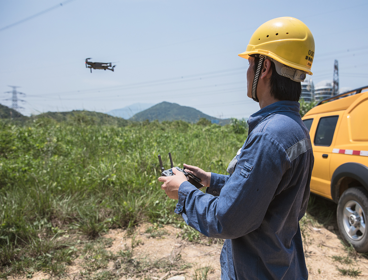
Immer wieder gibt es Erzählungen darüber, dass die eingesetzten Multikopter/Drohnen außer Kontrolle geraten und entweder abstürzen oder auf einem Hausdach oder einem Turm liegen bleiben. Hierbei stellt sich jedoch immer wieder die Frage, ob es vielleicht doch nur ein Anwenderfehler gewesen ist und es vielleicht doch nicht am Gerät lag.
Hierauf sollten Sie achten! Turbulente Winde stellen durchaus eine Gefahr für Drohnen dar
Oftmals erleben wir, dass nötige Abstände zu Türmen oder Hauswänden falsch eingeschätzt wurden und entsprechende Kompetenzen fehlen. Bei Türmen oder auch Hochhäusern entstehen grundsätzlich stärkere Winde als im Umland. Durch die Sonneneinstrahlung wird neben dem Gebäude auch der Betonboden oder die Stahlkonstruktion der städtischen Bauten erwärmt und diese Wärme wird von diesen Gebäuden gespeichert. Die Sonnenergie führt also dazu, dass Städte oft wärmer sind als das Umland. Die warme Luft in der Stadt steigt wie in einem Kamin auf, kühlt sich auf mittlerer Höhe wieder ab und Fallwinde zirkulieren an den Hauswänden herab. Diese turbulenten Winde stellen damit eine Gefahr für den Einsatz von unbemannten Luftfahrtsystemen dar. Straßenzüge, Gassen und andere städtische Schluchten tragen dazu bei, das eine entsprechende Geschwindigkeit der Winde entsteht, die nicht sofort ersichtlich ist. An Häuserkanten und Häuserecken können sich Winde schnell verzehnfachen. Neben den erforderlichen betrieblichen, den handwerklichen oder auch ingenieurstechnischen Kenntnissen kommen also noch fliegerische Kompetenzen hinzu. Diese können sicherlich nicht angelesen werden. Firmen, die Drohnen zu Inspektionszwecken einsetzen möchten, stehen nun also vor der Herausforderung eigene Drohnen zu kaufen oder direkt einen Spezialisten zu beauftragen. So oder so müssen Sie Ihre Projektplanung möglichst genau durchführen, die in diesem Fall eine Flugplanung erzwingt. Hierzu können Sie mit Map2Fly_PRO eine erste Übersicht der möglichen Betriebsverbote und rechtlichen Auflagen prüfen, indem Sie Ihre Ressourcenplanung durchführen und Ihre Flugroute automatisch validieren lassen.
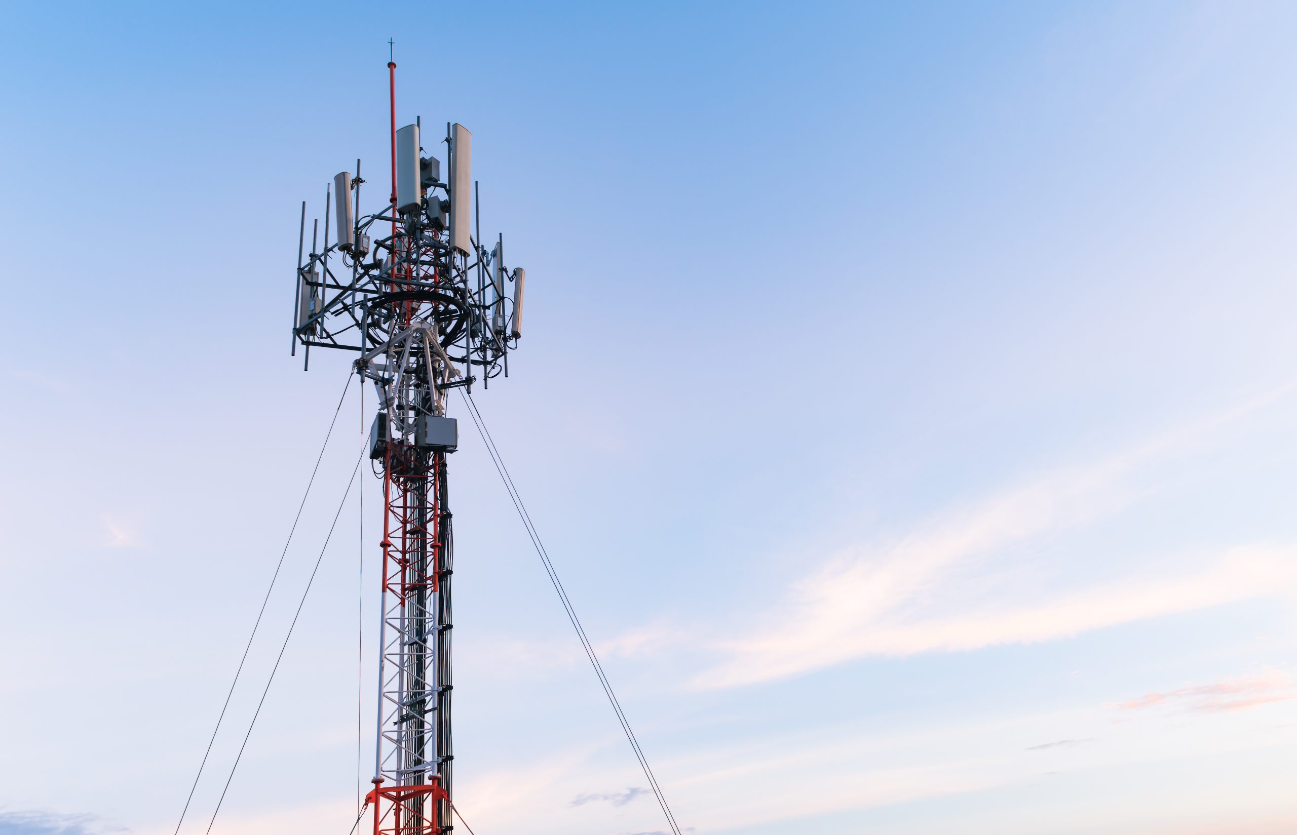
Steigern Sie Ihre Umsätze mit der Inspektion und Wartung von Mobilfunkmasten
Nun aber möchten wir in diesem Beitrag kurz noch auf den interessanten Einsatz von unbemannten Luftfahrtsystemen für die Inspektion und Wartung von Mobilfunkmasten eingehen. Hierbei fallen den meisten Lesern stets die klassischen Luftbildaufnahmen ein. Hierbei kann man das Einnisten von Vögeln überwachen oder einfach nur die Antenne selbst auf Beschädigungen überprüfen. Neben der Überprüfung der Abspannseile, der Korrosionsschutzarbeiten oder vieler für die betriebliche Sicherheit relevanter Bauteile, gibt es noch weit mehr Möglichkeiten.
Vorteile bei der Überprüfung der Funkreichweite
Drohnen sind mit entsprechender Payload auch in der Lage eine Überprüfung der Funkreichweite durchzuführen. Dies ergänzt durch die Umfeldanalyse, welche eine Ermittlung vorhandener Funknetze einschließt, ergibt für Kunden einen sehr interessanten Informationsgehalt. Besonders, wenn dieser auch noch grafisch professionell aufbereitet wird. Stellen Sie sich vor, eine Fußballübertragung bricht ab, weil entsprechende Antennen Ihr Signal nicht ausreichend senden können. Hierzu wird in den bekannten Stadien dieser Welt regelmäßig eine Überprüfung durchgeführt. Diese dauert ohne unbemannte Luftfahrtsysteme gerne auch mehrere Wochen oder zumindest mehrere Tage. Mit einer „Drohne“ und entsprechender Payload, ist dies in wenigen Stunden möglich. So führte die Telekom Tochter T-Mobile Netherlands bereits vor 3 Jahren schon als erster Betreiber diese Inspektionen durch.

Über 70.000 Mobilfunkanlagen müssen gewartet werden
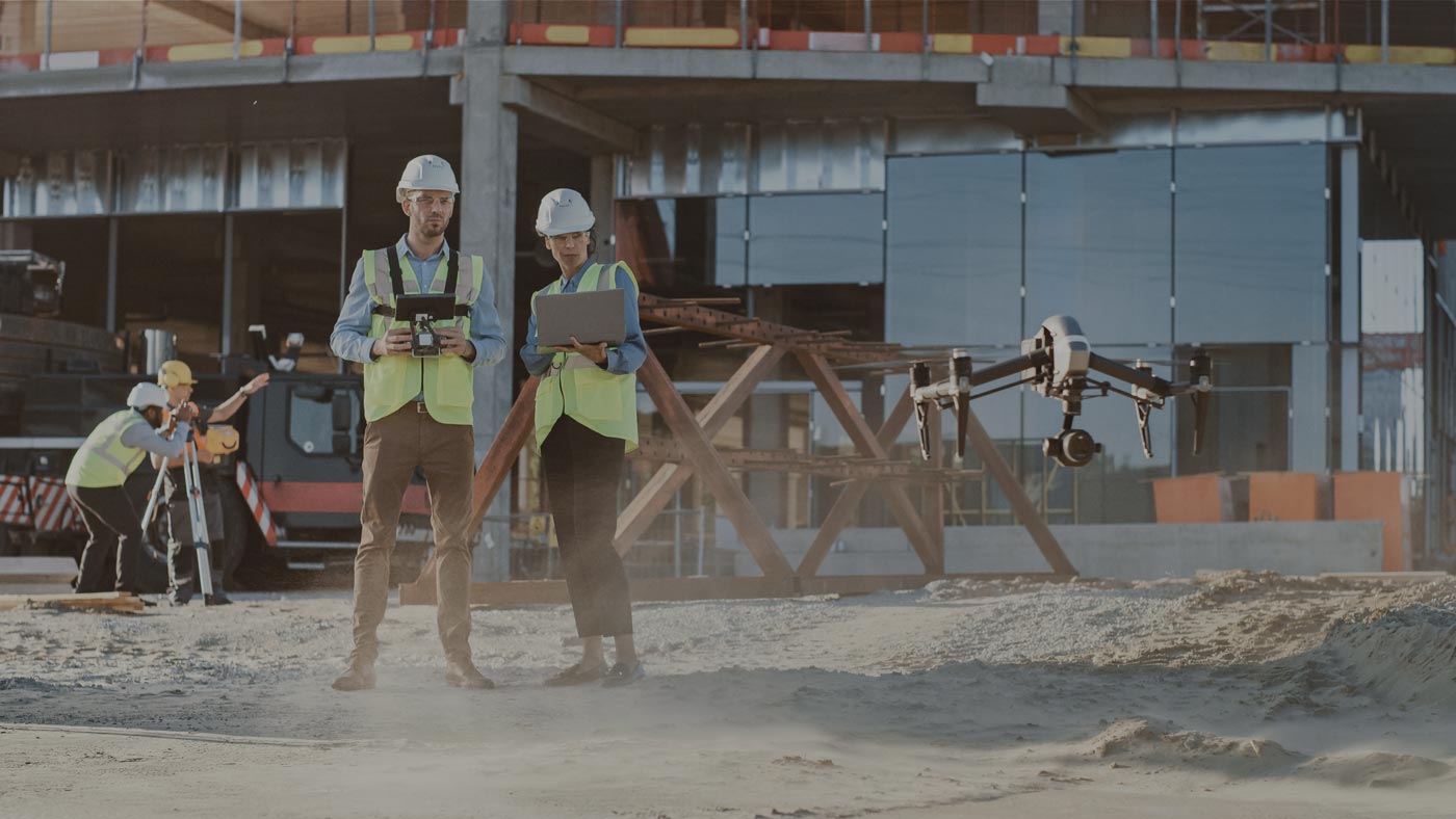
In Deutschland gibt es laut Bundesnetzagentur über 70.000 Standorte mit Mobilfunkanlagen und deren Anzahl sollte im Zuge der Digitalisierung weiter steigen. Es liegt also an Ihnen selbst, welches Thema Sie für sich wählen. Anwendungsfälle und Einsatzgebiete für unbemannte Luftfahrtsysteme gibt es genügend.
Der Standort jeder einzelnen Antenne ist relevant für die Qualität Ihres Netzes. Die Nutzung einer Vielzahl mobiler Dienste bestimmt unseren Alltag und somit sind Machbarkeitsstudien oder auch Netzwerkplanungen besonders wichtig. Herstellerunabhängig gibt es verschiedenste Mobilfunkanlagen für die gängigen Standards LTE, GSM und UMTS. Geht es um den Aufbau und die Standortbestimmung von Antennen oder die bauliche Integration in ein urbanes Umfeld, werden die Anwendungsfälle komplexer. Neben einer georeferenzierten Vermessung des Standortes benötigen Sie für die Bestandsaufnahme und die bautechnische Dokumentation verlässliche Daten, die Sie auch zu Kontrollzwecken mit Funkfeldmessungen ergänzen. Bis zur Konfiguration und der abschließenden Prüfung der Installation und Montage vergehen einige Termine. Desto mehr ist es nun zweckmäßig, das Werkzeug Drohne möglichst einfach zu integrieren, damit in der Bauleitung, Planung und Wartung erhebliche Vorteile genutzt werden.
So finden Sie alle Mobilfunkantennen in Deutschland und planen schnell und erfolgreich Ihre Aufträge
Sicherlich sind die Mobilfunkantennen in Deutschland nicht ausgeschildert. Eine Suche nach den jeweiligen Standorten gestaltet sich daher oft etwas schwierig. Mit der Karte der Bundnetzagentur https://emf3.bundesnetzagentur.de/karte/Default.aspx erfährt man jedoch viele hilfreiche Informationen und kann bei entsprechender Zoomstufe auf einer GoogleMaps Oberfläche die Standorte aller erfassten Antennen sehen. Mit FlyNex planen Sie anschließend Ihre Projekte mit Drohnen in einfachen Schritten. Hierzu bietet eine cloudbasierte Softwarelösung und unterstützt Firmen bei Ihren Projekten. FlyNex nutzt dazu eine speziell dafür entwickelte Software um Ihre Flugrouten zu planen und den Einsatz von Drohnen in wenigen Schritten umzusetzen. Sie bestimmen selbst anhand weniger Klicks, wo geflogen werden soll und erhalten alle relevanten Informationen aus einer Hand. Ihr Planungsaufwand reduziert sich hierdurch von Stunden oder Tagen, auf wenige Minuten. Diese riesige Anzahl an Mobilfunkantennen wird stets weiter ausgebaut. Starten Sie direkt durch und sichern Sie sich Ihren Projekterfolg.
MAP2FLY setzt den Standard
Nicht nur tausende von Piloten vertrauen auf die MAP2FLY mobile App, sondern auch Internetportale wie CHIP empfehlen die App für alle Drohnenpiloten. Nicht nur wurde die App mit sehr gut bewertet, sondern sie befindet sich auch unter den Top Ten Downloads der Drohnenapps in Deutschland. Damit setzt MAP2FLY nicht nur in Sachen Geodaten für den Markt der Drohnen den Standard, sondern hilft alle Drohnenpiloten sicher und stets informiert zu fliegen.
Wir wünschen allen Piloten weiterhin viel Spaß und Erfolg bei allen Projekten
Team FlyNex