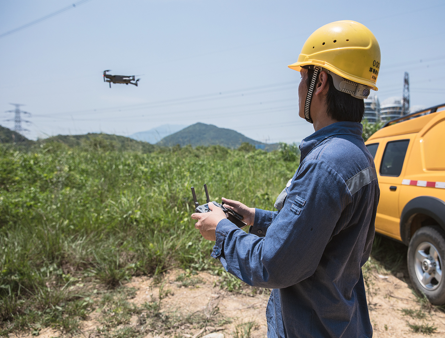
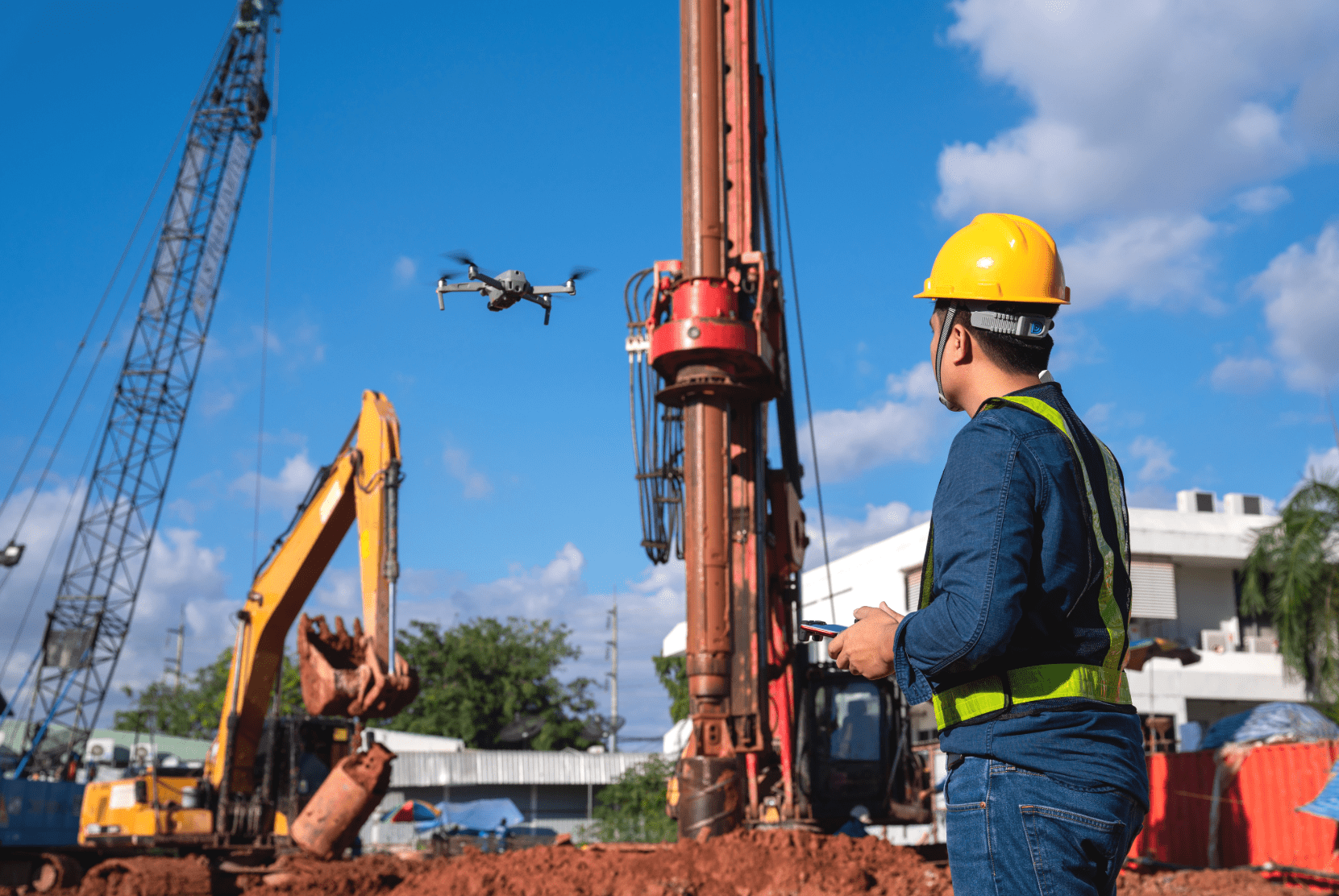
The number of drones flying in lower airspace will continue to increase. Already in 2021, the number of commercial drones in Germany exceeds 45,000 devices. Together with hobby drones, there will be almost half a million UAVs in the air in 2025. Especially since in the future, you will find not only small (toy) drones in the sky but at some point also large passenger drones. But how do you regulate air traffic and prevent collisions or airspace congestion?

The U-Space – More than just an airspace

To organize unmanned air traffic in the future, an overarching solution has been developed for many years at the technical, organizational, and political levels. Thus, important prerequisites for the future operation of manned and unmanned aircraft in the lower airspace, the so-called U-Space, and for the field of Urban Air Mobility are being created.

THE U-SPACE CONCEPT

The “U-Space” framework developed by the European Commission is intended to serve the integration of UAVs into European airspace because there is as yet no management of lower airspace adapted to UAVs. The focus is on the automation of processes and connectivity between the drone and the environment. As a basis for a successful implementation of Urban Air Mobility, the U-Space should ultimately enable integrating a large number of drones in the restricted airspace.

In our White Paper about the “U-Space” you will find more details on the planned implementation and how the regulation of European airspace could look in the future.

THE NEW EU REGULATIONS

On April 22, 2021, the European Commission published three new regulations on U-Space:

Collectively, these enable more complex drone projects that can also take place BVLOS (Beyond Visual Line of Sight). U-Space requirements have also been formulated to ensure safe operations for manned and unmanned aircraft in lower airspace, so risks can be kept low. The regulatory package is to be implemented from January 26, 2023.

The regulations are part of the “Sustainable and Smart Mobility Strategy“. The aim is to develop an EU-wide transport system that is environmentally friendly and forward-looking. Drones should play an essential role in this.

“Drones are a clear part of the future transport and logistics landscape. […] the U-Space package is an important step towards creating the well-functioning, trusted and safe enabling environment that we need to develop a competitive EU drone services market.”

Adina Vălean, EU Commissioner for Transport

We are excited about the progress regarding new regulations for the safe operation of drones in lower airspace and will keep you updated on all news on our blog.

Your FlyNex Team

Newsletter.

Subscribe to our newsletter to stay updated on all drone industry news and FlyNex!

Related posts.

  • Drohnenperspektive auf ein Quartier

    29.09.2023

    Digital district surveying through drone technology enables precise inventory recording and effective area management, allowing companies to save costs, increase transparency, and make more sustainable decisions.

  • verkehrssicherungspflicht in der immobiilienwirtschaft - FlyNex

    05.12.2022

    The obligation to ensure safety is a topic that is of undeniable relevance, especially in the real estate industry. We explain why it's better to be safe than sorry. We also show how companies can meet the increasing demand for roof and facade inspections.

  • FlyNex - Saving Lives with Digital Twins

    15.08.2022

    When every minute counts: Efficient operational planning can make the difference in fire and disaster control because saving lives is at stake. FlyNex and hhpberlin show how to save lives with digital twins.

  • Grid inspection by drone

    22.07.2022

    Drones are increasingly used to supplement helicopters and climbers for network inspection. In the process, overhead line masts are flown over by drone to, for example, detect insulators' damage and check the mast for stability. But what happens afterward with the drone recordings, and how can drone data be used for more efficient inspection processes?

  • Aerial data and AI against Sachsenwald storm damage

    23.05.2022

    Efficiently and sustainably manage around 55 km² of a densely overgrown forest? Using the example of Sachsenwald, FlyNex and Waldkontor show how forestry works much more sustainably and efficiently using aerial photographs and AI.

Related posts.

  • Drohnenperspektive auf ein Quartier

    29.09.2023

    Digital district surveying through drone technology enables precise inventory recording and effective area management, allowing companies to save costs, increase transparency, and make more sustainable decisions.

  • verkehrssicherungspflicht in der immobiilienwirtschaft - FlyNex

    05.12.2022

    The obligation to ensure safety is a topic that is of undeniable relevance, especially in the real estate industry. We explain why it's better to be safe than sorry. We also show how companies can meet the increasing demand for roof and facade inspections.

  • FlyNex - Saving Lives with Digital Twins

    15.08.2022

    When every minute counts: Efficient operational planning can make the difference in fire and disaster control because saving lives is at stake. FlyNex and hhpberlin show how to save lives with digital twins.

  • Grid inspection by drone

    22.07.2022

    Drones are increasingly used to supplement helicopters and climbers for network inspection. In the process, overhead line masts are flown over by drone to, for example, detect insulators' damage and check the mast for stability. But what happens afterward with the drone recordings, and how can drone data be used for more efficient inspection processes?