Wir sind hocherfreut, dass unsere Veranstaltung bei den Teilnehmern so gut angekommen ist. Nach den spannenden Vorträgen gab es einen regen Austausch zwischen uns und den Teilnehmern, aber auch untereinander wurde viel diskutiert und ausgetauscht.
Zusammenfassung der Präsentationen beim Business Forum Drones 4 Energy
Im Mittelpunkt der Vorträge standen folgende Themen:
- Digitale Zwillinge – Das Erstellen digitaler Kopien der realen Welt
- Thermographie mit Drohnen
- Datensicherheit
- Kartierung mit Geodaten
- Dachinspektionen mit Drohnen
- Flugplanakkreditierungen
- Projektplanung mit Geodaten
Referenten und ihre Themen
Tobias Wentzlar, EMEA Enterprise Business Development Manager bei DJI, referierte über Datensicherheit und die Integration von Drohneneinsätzen in den täglichen Workflow
Christof Hellmis, Vice President bei HERE Technologies, referierte über Geodatenerzeugung durch Drohnen für autonome Fahrzeuge
Manuela Rasthofer, CEO bei Terraloupe, referierte über die Erstellung digitaler Zwillinge für verschiedene Einsatzzwecke und Branchen und den Einsatz von K.I.
Viola Hoffmann, Managing Director bei UCAIR, referierte über den Einsatz von Drohnen bei Thermographieinspektionen von PV-Anlagen
Start Up Pitches
Ein weiteres Highlight waren die Vorstellungen der drei eingeladenen Startups AIRTEAM, JOIN und QLX. Innovative Ideen sind immer eine Bereicherung und Inspiration für bestehende Unternehmen.
Hierbei wurden in den Pitches verschiedene Use Cases demonstriert, die unterschiedlicher nicht sein konnten:
- Ricardo Rohland, Blockchain Evangelist bei JOIN, stellte vor, wie die digitale Flugplanvalidierung mit Hilfe von Blockchain realisiert werden kann
- Gautier Chapuis, Gründer & CTO bei AIRTEAM, stellte vor, wie das Unternehmen Drohnen für Dachinspektionen einsetzt
- Ingolf Leithoff, Gründer bei QLX, stellte unter Einsatz von Geodaten die Generierung von 3D Modellen in Echtzeit vor
Im Anschluss konnten die Teilnehmer unseres Business Forums durch das Abstimmungstool TOM.VOTE darüber entscheiden, welcher Pitch Ihnen am meisten zugesagt hat.
Gewinner des Preises war mit 82% der Stimmen das Startup QLX.
Wir hoffen, dass das Preisgeld in Höhe von 1000 € eine Freude bereitet und wünschen QLX viel Erfolg für die Zukunft.
In eigener Sache – Vorstellung von GEOSPHERE
Wir wollten es uns nicht nehmen lassen und haben auf unserer Veranstaltung auch etwas Eigenes präsentiert:
Das neue GEOSPHERE Video!
Die Geodaten hinter unserer Software sind so umfangreich, dass wir uns überlegt haben, diese auch eigenständig zu verbreiten. Der Vorteil ist, dass Unternehmen unsere Geodaten über eine Schnittstelle (API) in ihr eigenes Produkt integrieren können. Hintergrund ist, dass wir immer wieder in der Vergangenheit von Unternehmen danach gefragt wurden. Die Begeisterung für und das Interesse an unserer Datenbank mit mehr als 165 verifizierten Datenquellen war sehr groß. Da einige Unternehmen jedoch schon in eigene Projektmanagementsysteme für Drohneneinsätze investiert haben, haben wir uns entschlossen, die Geodaten hierfür unabhängig von HORIZON oder MAP2FLY zu liefern. Demnächst werden wir noch genauer über GEOSPHERE hier auf unserem Blog berichten.
Das Video zum Produkt kann ab sofort hier angesehen werden!
Danksagung
Neben der ganzen Innovation stand natürlich auch der Spaß und das freudige Miteinander auf unserer Agenda. Unsere Band hat alles gegeben und wir hoffen, dass niemand zu kurz gekommen ist. Wir wollen uns an dieser Stelle für die rege Teilnahme und großartigen Vorträge bei allen Rednern bedanken!
Aufgrund der positiven Resonanz vor, während und nach der Veranstaltung freuen wir uns jetzt schon auf das nächste Event, dann wahrscheinlich in einer größeren Runde. Unsere Branche wächst und das Interesse von Wirtschaft und Industrie am Thema Drohnenintegration in bestehende Arbeitsprozesse wird immer größer.
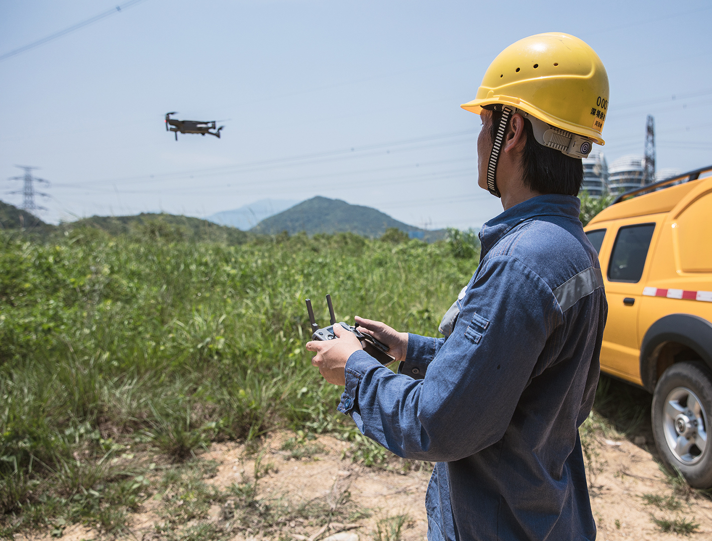
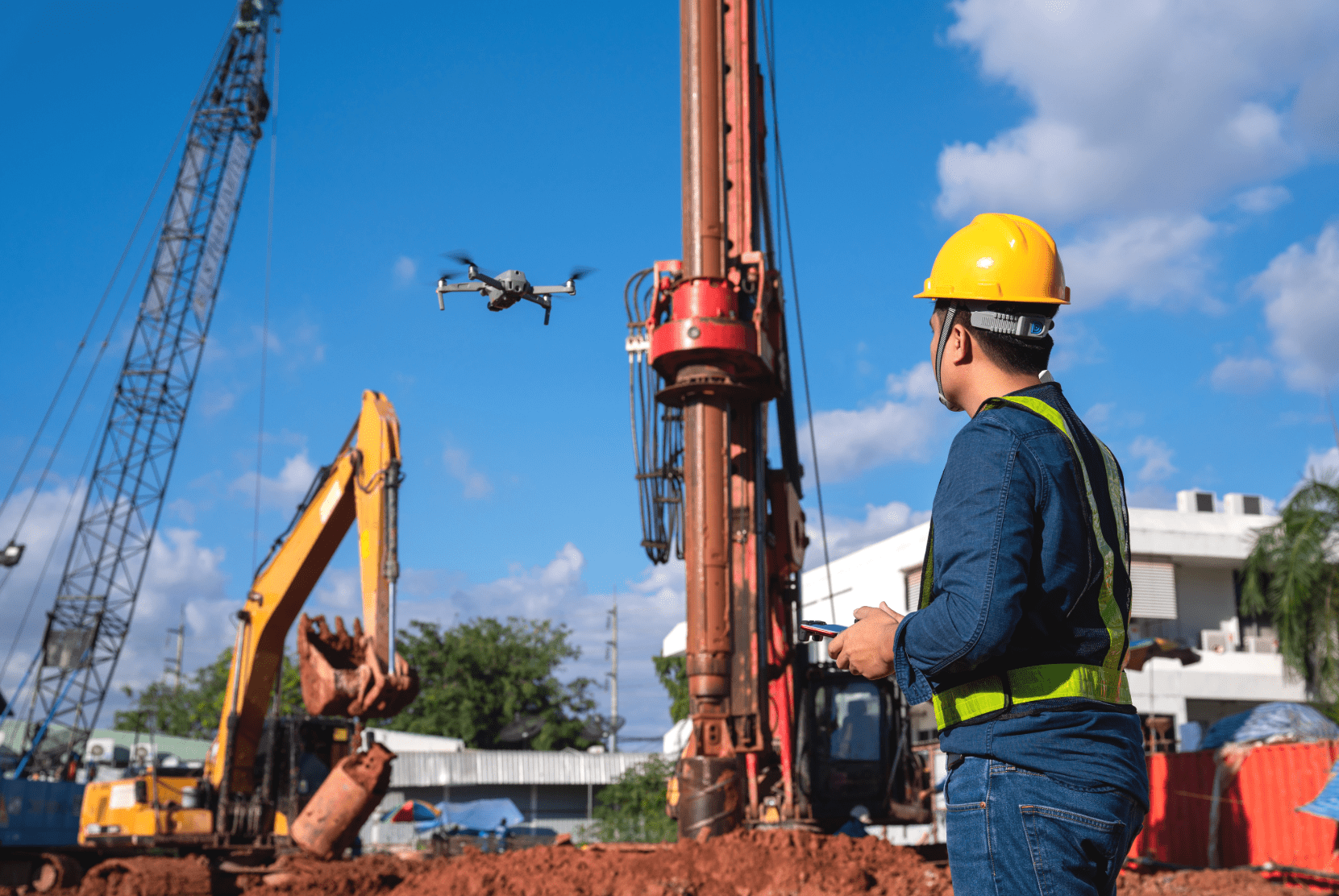
Zum Abschluss möchten wir noch einige Bilder zeigen:


Ihr FlyNex Team