
News and updates from the practice.
Find out everything about FlyNex’s successful projects and customers, current drone regulations, and background information on data protection and automation. Stay up to date with our news and updates.

09.12.2024
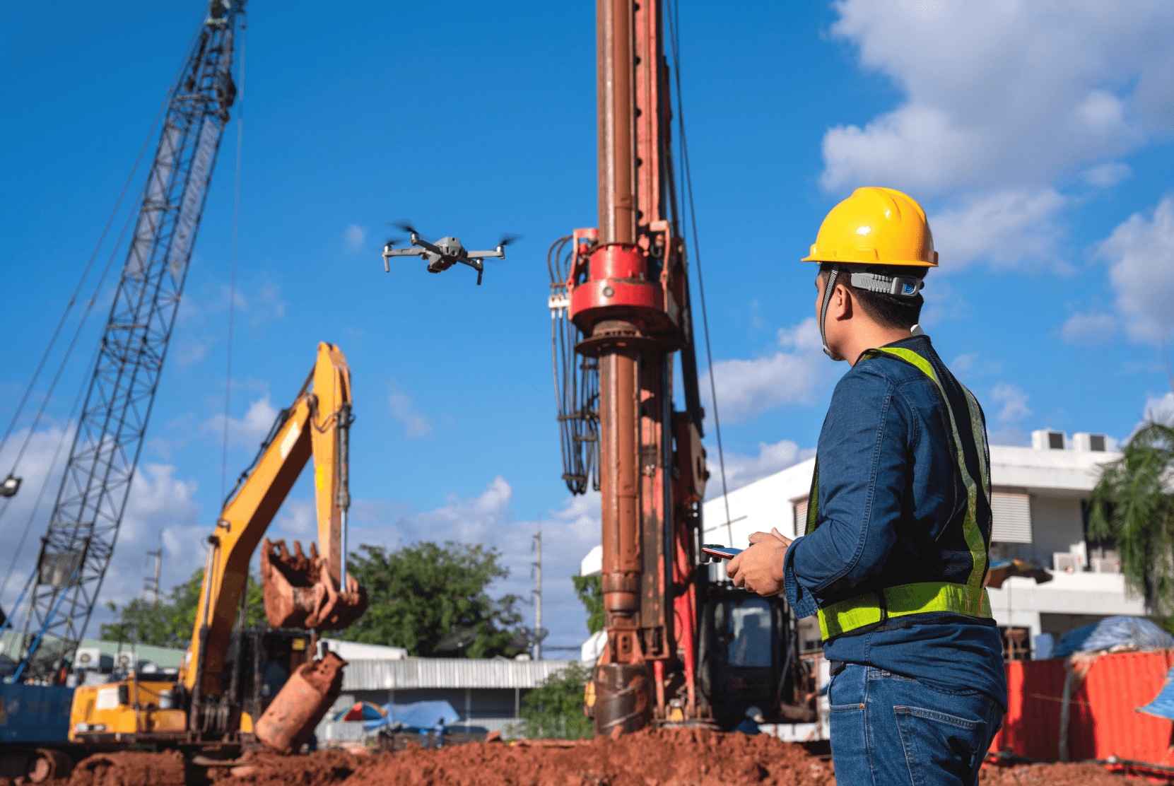
Discover how businesses can successfully integrate drone technology. Our latest blog post provides practical tips, highlights best practices, and explores how drones optimize workflows and boost efficiency. Unleash the potential for your business!

28.03.2019
Urban Air Mobility (UAM) is the topic of the moment It has been present in all media outlets for the last two weeks, due to the presentation of the first Airbus air taxi called CityAirbus on March 11th, 2019 in Ingolstadt, Germany. [ ... ]

18.02.2019
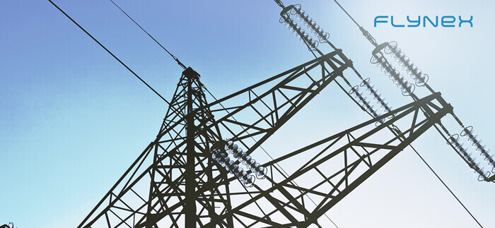
New tools for inspecting antennas and masts More than 350,000 power pylons, over 44,000 mobile phone carriers, numerous other towers, and antennas are located in Germany alone. In the course of the energy transition, the overhead line network will have [ ... ]
22.01.2019
In July we pointed out in our blog the advantages of using drones to inspect power poles. In this article, we would like to take a closer look at the topic and examine individual aspects. The enormous number of over 350,000 power poles in Germany [ ... ]
08.01.2019
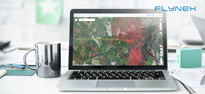
Haven’t read it yet? Here’s part I and part II Geodata is data with a spatial reference. Depending on estimates, this includes 80-95 % of all data worldwide and thus affects all industries. Maps are the classic way of presenting geodata. In times of [ ... ]

09.10.2018
Haven´t read the first part? Read it here Maps and map-like representations are wonderfully suitable for the presentation of everything that has a spatial reference. Things have a spatial reference if a concrete location or a geographical area can be assigned [ ... ]
18.09.2018
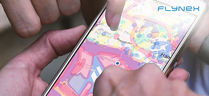
For many centuries, maps have influenced how we see the world and understand our environment. They both fascinate and inform at the same time. Sometimes they are even art. The Internet also allows completely new possibilities for cartography. The production [ ... ]

04.09.2018
Unmanned aerial systems, also known as drones, are currently in most cases remotely controlled by a controller or pilot. The main reasons for the development of drones are the demand for greater safety, precision and, above all, a simpler performance [ ... ]
15.08.2018
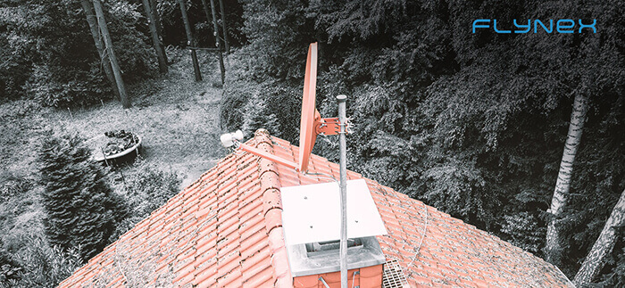
Risk-free working from the ground In this article, we would like to highlight the advantages of drones for roof inspections. A few years ago, drones were considered an expensive niche product, but today their commercial and industrial use is a [ ... ]

17.07.2018
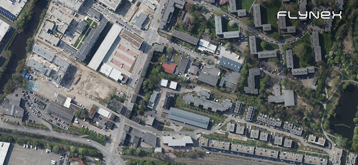
Geodata for unmanned aerial systems Unmanned aviation systems, colloquially often called drones or copters, are legally assigned to aviation. Therefore it is relatively obvious to deal with aspects of aviation for the ascent with a device. For many pilots on [ ... ]
17.07.2018
From simple route descriptions to property data to complex specialist topics, such as the crack survey or construction progress documentation with drones: We encounter geodata both at work and in everyday life and it can be found in almost every [ ... ]

11.07.2018
Particularly in rural areas, overhead line pylons, as power pylons are actually correctly called, are a formative image alongside wind turbines. In Germany, they reach heights of up to 227 m. The inspection of power pylons is a labor-intensive and [ ... ]
04.07.2018
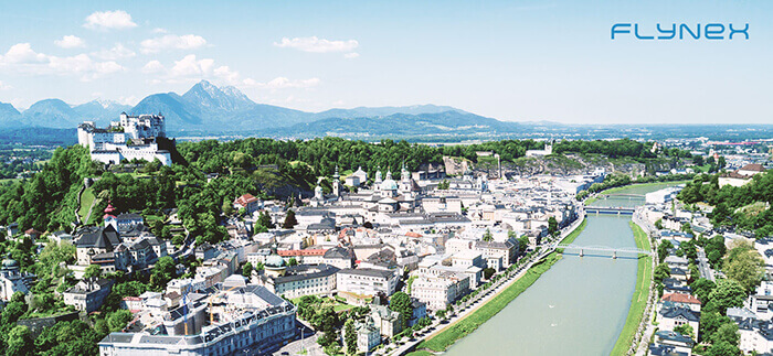
What does Mozart have to do with drones? Hohensalzburg Fortress proudly sits on the fortress hill above Austria’s fourth-largest city on the Salzach. We will probably never know whether Mozart was interested in drones, but one thing is certain: the [ ... ]
Want to know more?
Do you have questions about our news articles, the FlyNex solution or a planned use case? Or would you like to get a demo of our platform to see how it can support you in your processes? Feel free to contact us!