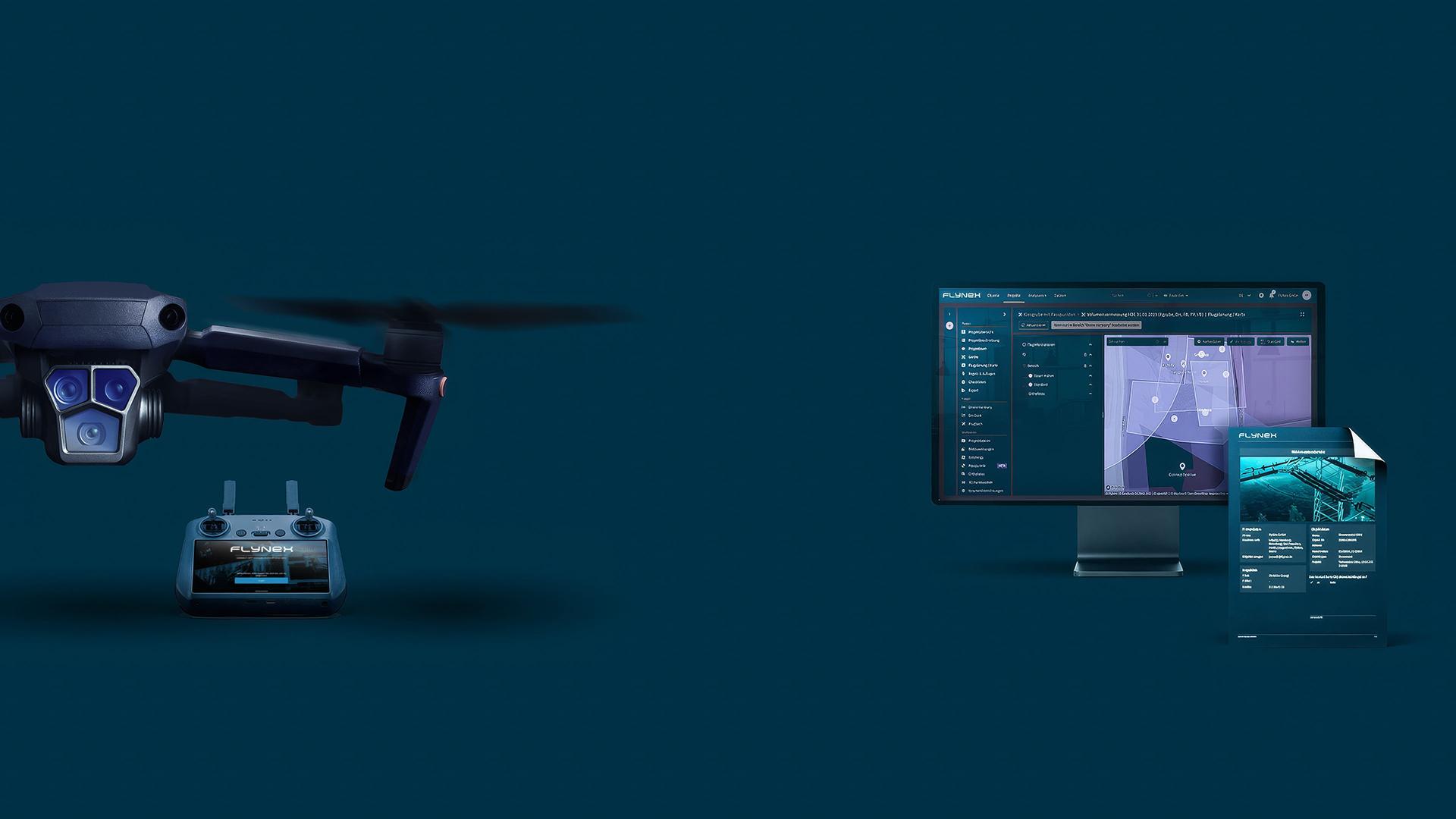
The FlyNex platform has received a comprehensive update that significantly enhances usability and efficiency for our customers. With a variety of new features and fundamental revisions to existing functions, we continue to focus on delivering a more intuitive and powerful user experience.

Unified reporting for greater transparency
A highlight of the new version is the completely redesigned reporting system. All reports now follow a unified layout with standardized core information, including project data, asset data, team members, and devices. The previously separate PDF export has been seamlessly integrated into the general reporting section. This standardization ensures better comparability between different report types and significantly increases transparency for our customers.
Revolutionary map editing with AI integration
Mapping has been redeveloped from the ground up and now offers groundbreaking capabilities. Users can make direct annotations on maps—similar to familiar image annotation workflows. Particularly innovative is the integration of AI analyses directly on orthophotos within the map. The import and export of KML files further extends the workflow and makes collaboration with external tools even more efficient.
New GIS integration and expanded functionality
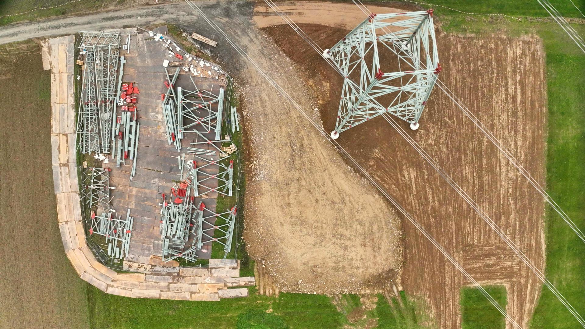
With the new GIS link function for orthophotos, customers can easily integrate their data into third-party tools such as GIS software. The URLs are long-term valid and enable a stable external connection. In addition, a new cropping function for orthophotos has been implemented, allowing users to keep only the image areas they need—saving storage space and improving clarity.
These updates underline our commitment to continuously advancing FlyNex and providing our customers with the most advanced tools for their digital infrastructure projects.
