Plug and Play Geodata
Valid and accurate spatial data and geo-information are of crucial importance for unmanned aviation. Integrate comprehensive geodata directly into your own products and GIS solutions. FlyNex Geosphere allows you to obtain official and valid data as a pay-as-you-go solution. We provide spatial data “on-demand” via common interfaces. Feel free to contact us in case of questions and technical requirements.
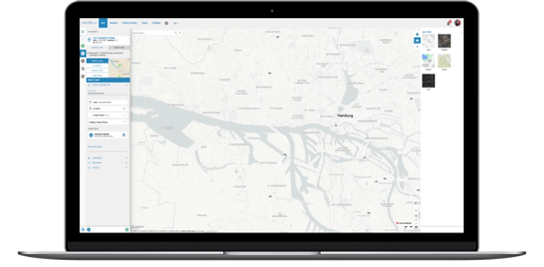
Add one of the most comprehensive collections of geodata to your solution. Extend your existing products with accurate information and metadata.
Create high-precision maps and products for your individual unmanned aviation use cases.
Sie wollen mehr erfahren?
Haben Sie Fragen zur Lösung von FlyNex oder einem geplanten Anwendungsfall? Oder würden Sie gerne eine unverbindliche Demo unserer Plattform bekommen, um zu erfahren, wie diese Sie in Ihren Prozessen unterstützen kann? Dann schreiben Sie uns!
Free White Paper on Geodata-as-a-Service
Qualified, up-to-date geoinformation, forms the basis for spatial images. Especially for Unmanned Aviation, conditions are constantly changing. Spatially through physical changes and legally through increasing regulations. In our white paper Geosphere, we explain the fields of application, challenges, and solutions for the demanding task of Geodata-as-a-Service.