Property and facility managers overseeing large real estate portfolios often have no consolidated view of their buildings. Roof conditions, facade assessments, site plans, interior data. It’s spread across completely different sources. Outdated drawings, one-off inspection reports, spreadsheets maintained by different people.
Nothing connects. And finding the right information at the right time takes more effort than it should.
Missing data integration costs you – on several fronts:
- Financially: Wrong investment decisions, wasted renovation funds, misguided priorities.
- In time: On-site inspections must be conducted again for each measure – decisions delay by weeks.
- In capacity: Capacity bottlenecks caused by redundant inspections and manual documentation.
- Technically: Data exists but is not being used because there is a lack of cross-divisional solutions.
The fix: one complete, central digital record.
Modern capture technologies like drones, handheld laser scanners or satellite imagery combined with the FlyNex Enterprise Platform make portfolio-wide asset capture straightforward today. Data is processed, analyzed and standardized in one pass: captured once, usable permanently, ready to hand over to downstream systems. All of it in one central, digital record. A permanent working foundation, not a snapshot.
Everything above adds up to one end-to-end optimized system:
From single assets to portfolio strategy.
100%
comparable data across your entire portfolio.
Site visits become clicks.
fewer on-site appointments through remote processing.
Weeks become days, with AI.
less time spent on analysis and reporting.
How it works. Step by step:
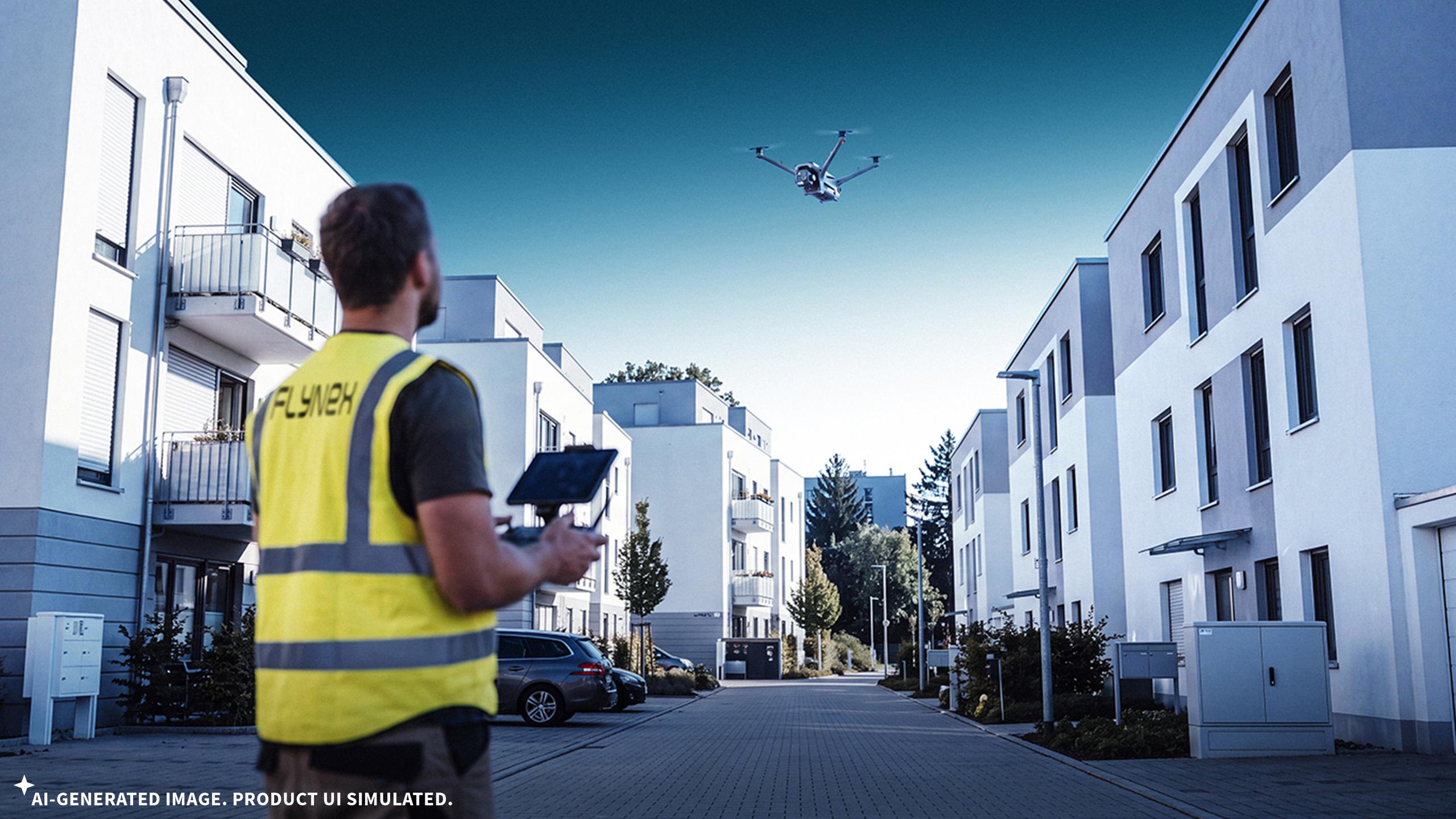
1. Visual data capture
Operation Services capture buildings and open areas completely and to a reproducible standard by drone, scanner and GNSS systems. All data is georeferenced for precise connection to your existing records. Raw data goes straight into the FlyNex Enterprise Platform, so every processing step is documented.
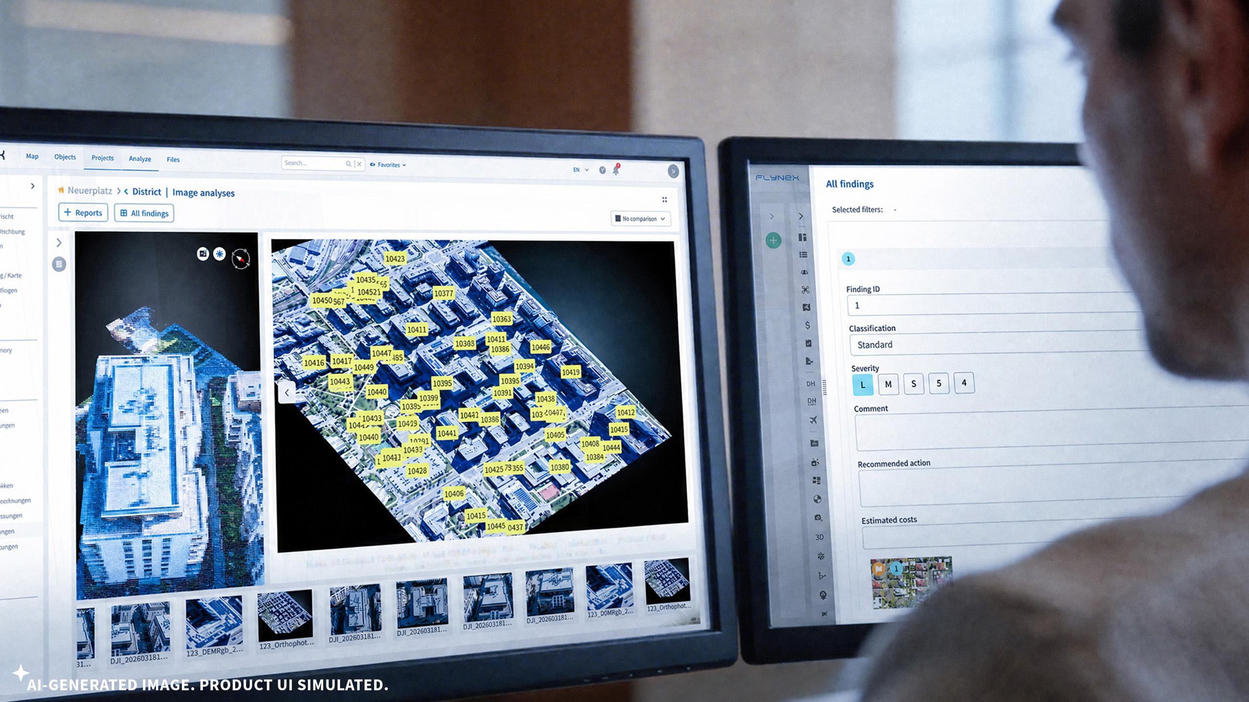
2. Data processing & analysis
Inside the Enterprise Platform, captured data is dereferenced, processed into photogrammetric orthophotos and 3D models. AI anonymizes to data protection standards, counts and measures objects, identifies and classifies defects against your defined criteria. Prepared models are made available for use in GIS systems as required.
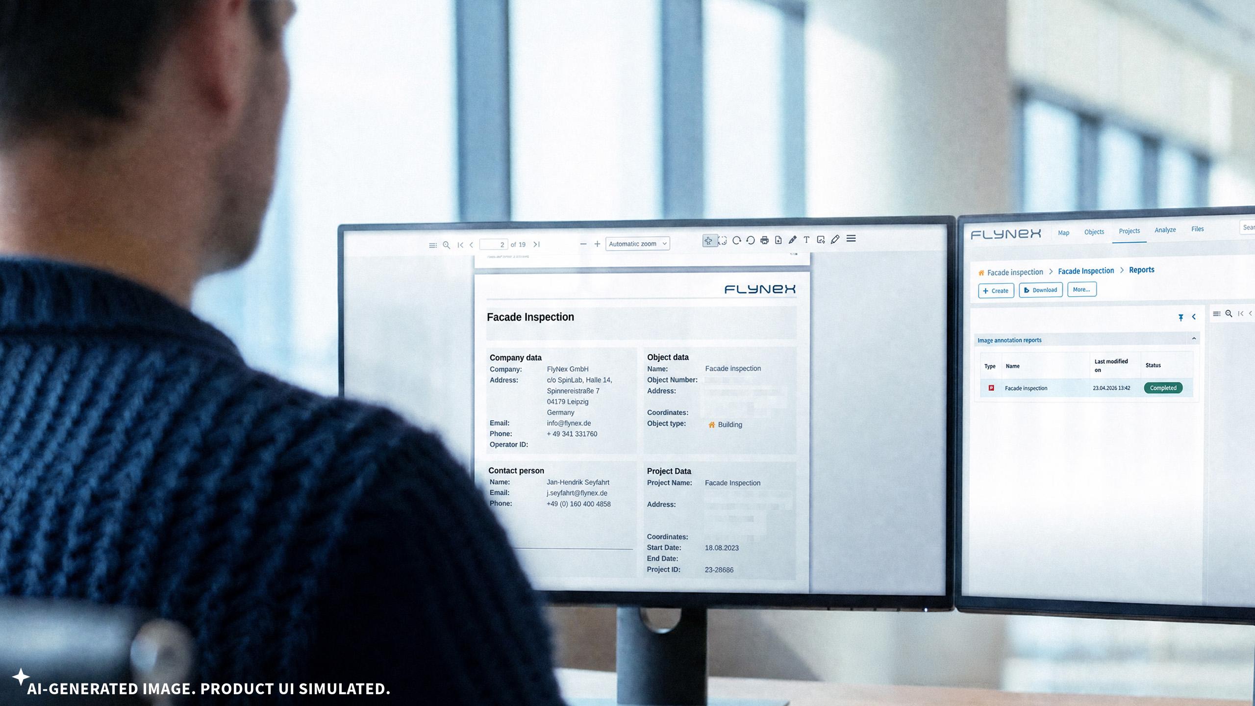
3. Documentation. Reporting. Migration.
Results are transferred into protocols and reports you define, and can be made available to different stakeholders. Selected data migrates directly into your asset management systems (CAFM, EAM, ERP) via interface.
Let’s talk about your specific case!
In a no-obligation conversation we’ll work out in 30 minutes what digital asset capture concretely does for you.
Questions worth answering together:
Digitally optimized end to end:
FlyNex Operation Services + FlyNex Enterprise Platform.