

Grid expansion, rising inspection obligations and regulatory pressure meet a shortage of skilled staff. At the same time, the number of inspection sources is growing: drones, climbers, helicopters, service providers, drone docks. Every source produces visual data. What’s missing is the structure to make it usable.
Fragmentation is becoming the bottleneck.
A fragmented picture emerges: different capture technologies, visual raw data, and legacy systems that don’t connect. Where that data exists at all, it costs you on several fronts.
- Inspection reports on paper, in tables, in Excel, in email. No comparability, no system connection to GIS or ERP/EAM.
- Findings → Excel-/PDF-report → email → manual transfer into ticket systems – long turnaround instead of direct handover. Skilled-staff shortage at climbing inspections meet a process that doesn’t scale: manual image evaluation.
The fix: central inspection data management, connected directly to your existing systems.
The FlyNex Enterprise Platform brings new and existing capture technologies seamlessly into the system and process landscape you already have. It turns unstructured raw data into structured, integrable information — modular and individually configurable.
One platform for all data sources.
Drones, climbers, service providers, drone docks — all data in one system. New capture methods plug in instead of adding another silo. From fragmentation to one central record.
AI turns raw data into a basis for decisions.
Vision AI takes over the automated structuring and prioritization of manual image evaluation. Assessment becomes fast.
Integration instead of replacement.
Results feed in modular form, configurable to your existing systems and processes. No rip-and-replace, no loss of continuity.
How it works, step by step.
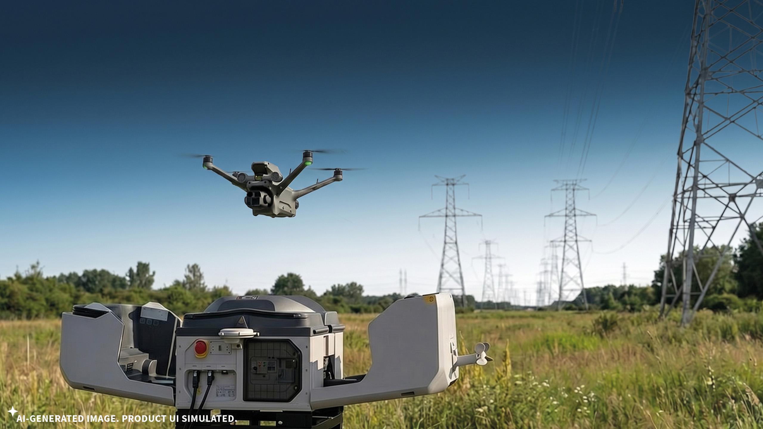
1. Planing & capture
Inspection scope, assignment rules and capture methods are planned and coordinated centrally in the FlyNex Enterprise Platform — independently of who flies, climbs, drives or operates the dock. All visual data lands in the platform and is assigned to the relevant asset regardless of source or service provider.
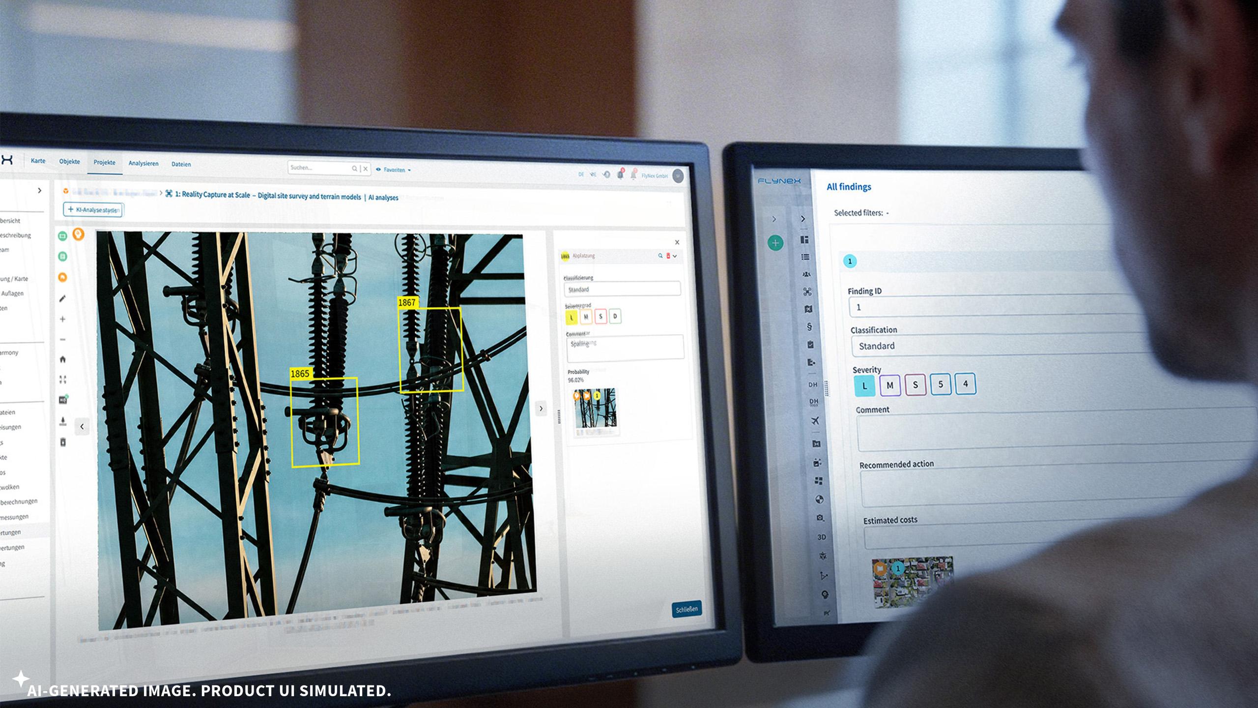
2. Processing & analysis
Captured data is processed photogrammetrically into orthophotos or 3D models. Vision AI analyzes it automatically: corrosion and damage are detected and classified, components inventoried per object detection and OCR, optionally with thermographic analysis for hotspots. AI classification links each image to an object and a damage category — the basis for GIS and ERP handover. Human review stays possible, but the groundwork is done.
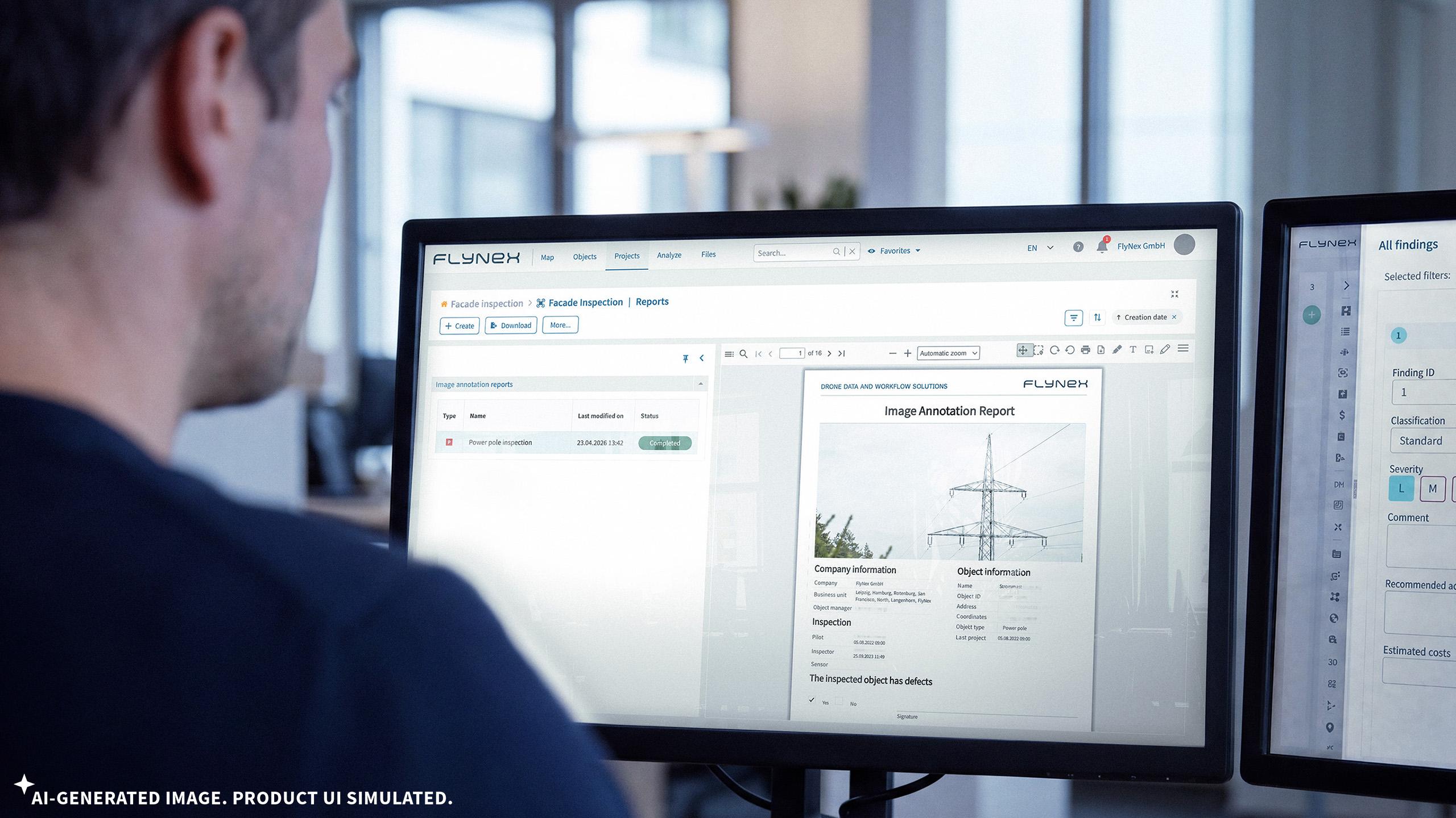
3. Reporting & system integration
The FlyNex Enterprise Platform prepares structured findings audit-proof as reports, prioritization lists and refurbishment plans. Results are made available via dashboard access, GIS integration, automated tickets, EAM integration or transferred via API into the systems you already run.
Let’s talk about how your inspections run today!
In a no-obligation conversation we’ll work out in 30 minutes where central, cross-source inspection data management delivers for you.
Questions worth answering together:
From planning to system integration:
The FlyNex Enterprise Platform
Our all-in-one data platform is built for the demands of grid operators. Modular, adaptable, and proven in the field. It connects new and existing capture technologies with the systems you already run — whatever the source, seamlessly.
One platform. Every data source. Your existing systems.
FlyNex is already in use at among others:

From planing to system integration.
The FlyNex Enterprise Platform
Our all-in-one data platform is built for the demands of grid operators. Modular, adaptable, and proven in the field. It connects new and existing capture technologies with the systems you already run — whatever the source, seamlessly.
One platform. Every data source. Your existing systems.
FlyNex is alread in use at among others: