
Dozens of construction sites, distributed trades, patchily documented. Progress is recorded manually, quantities are estimated, deviations are detected too late. Today, there is a better way. Drones fly over the construction field regularly, the FlyNex platform processes the data into orthophotos, point clouds and volume models – target/actual comparison, quantity determination and construction-progress report are generated automatically. End-to-end, audit-proof, without rework in third-party programs.
Dozens of construction sites, distributed trades, patchily documented. Progress is recorded manually, quantities are estimated, deviations are detected too late. Today, there is a better way. Drones fly over the construction field regularly, the FlyNex platform processes the data into orthophotos, point clouds and volume models – target/actual comparison, quantity determination and construction-progress report are generated automatically. End-to-end, audit-proof, without rework in third-party programs.
How it works:
Data caption
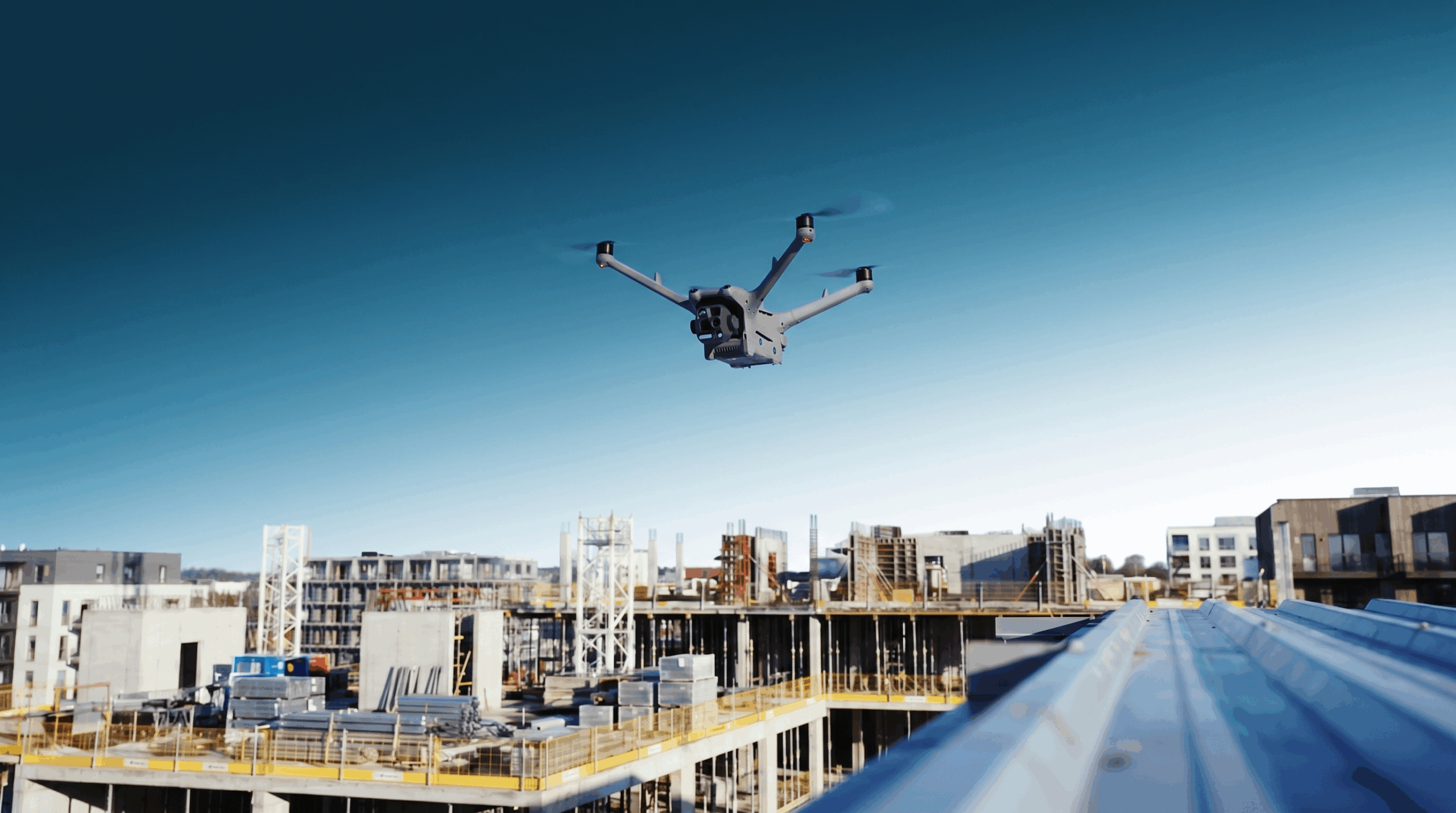
The construction field is flown over weekly by RTK/PPK drone – civil engineering, structural engineering and outdoor facilities in a single pass.
RGB sensors capture construction progress, optionally supplemented by LiDAR for terrain models and volume calculations.
All image and sensor data flows directly into the FlyNex Cloud. The flight log and flight hours are recorded automatically – legally compliant and complete.

Data analysis
The Enterprise Platform processes the captured data into georeferenced orthophotos, point clouds and 3D models. The analysis delivers three concrete results from a single flight:
All results are georeferenced, time-stamped and archived in an audit-proof manner.
Reporting & Migration
FlyNex generates automated progress reports, quantity balances, inventory lists and evidence-preservation reports – audit-proof, with georeference and time stamp. Via standardised interfaces, all results flow directly into existing ERP, BIM or AVA systems. No media discontinuity, no manual transfer.
Export formats include PDF, CSV, DXF, IFC and LAS/LAZ, among others. Connection to systems such as Trimble, Leica, AutoCAD, Revit or ArchiCAD is carried out via API and can be fully automated.

System specifications:
Capture:
RTK/PPK drones, optionally LiDAR, 360° camera. GSD from 0.5 cm/px depending on flight altitude. Up to 1.5 cm positional accuracy with ground control points.
Enterprise Platform:
Object, project and flight planning, fleet management, point-cloud processing, volume calculation, target/actual overlay, component counting, ticketing, reporting, among others.
Vision AI:
Automated detection and counting of components (windows, sheet piles, floor slabs). Area classification (sealed/greened/undeveloped). Support for target/actual comparison and quality control. Custom-trainable, GDPR-compliant.
Reporting & Migration:
Progress reports, quantity balances, inventory lists, evidence-preservation reports, sealing verifications. API/SDK connection to ERP, BIM, AVA (including Trimble, Leica, AutoCAD, Revit, ArchiCAD). Export formats: PDF, CSV, DXF, IFC, LAS/LAZ.
Benefits:
80 % less documentation effort
Construction progress, component counting and performance records are generated automatically from the weekly overflight – instead of manual walkthroughs, a construction log and recounting on site.
One flight replaces five separate processes
Quantity determination, progress control, target/actual comparison, inventory and sealing verification – all from a single dataset. No duplicate collection, no merging from parallel systems.
Verification obligations met at the push of a button
Surface sealing, construction progress, performance records – georeferenced, time-stamped, audit-proof. For environmental authorities, clients and your own billing
FlyNex Vision AI is already in use at, among others:

Full Service:
FlyNex is a complete automation ecosystem:
FlyNex
Enterprise
Platform
Modular all-in-one platform for planning, capture, analysis and reporting – with full control over data retention.
FlyNex
Custom
Vision AI
Managed custom AI for precise image data analysis: pre-trained or individually trained with over 95% accuracy and 100% full control over data retention.
FlyNex
Integration Services
From hardware consulting to API integration: we model and automate your individual infrastructure workflows end-to-end.
FlyNex
Operation Services
Professional data capture by drone, lidar & GNSS – including processing, AI classification and 3D modelling from a single source.
Get in touch now
Start now with intelligent damage detection.
Do you have questions? Let’s discuss your specific use case together in a non-binding initial conversation.
0% sales pitch. 100% focused on your assets and use cases.
Start now with intelligent damage detection.
Do you have questions? Let’s discuss your specific use case together in a non-binding initial conversation.
0% sales pitch. 100% focused on your assets and use cases.