
Hundreds of pylons, spread over many kilometres – regularly inspected, assessed manually, and documented over months or even years. Today, there’s a better way: drones survey sections of the route semi-automatically, Vision AI analyses the images in minutes, and the final reports are fed directly into your systems. End-to-end. No climbing, no scaffolding.
Hundreds of pylons, spread over many kilometres – regularly inspected, assessed manually, and documented over months or even years. Today, there’s a better way: drones survey sections of the route semi-automatically, Vision AI analyses the images in minutes, and the final reports are fed directly into your systems. End-to-end. No climbing, no scaffolding.
Here’s how it works:
Data capture
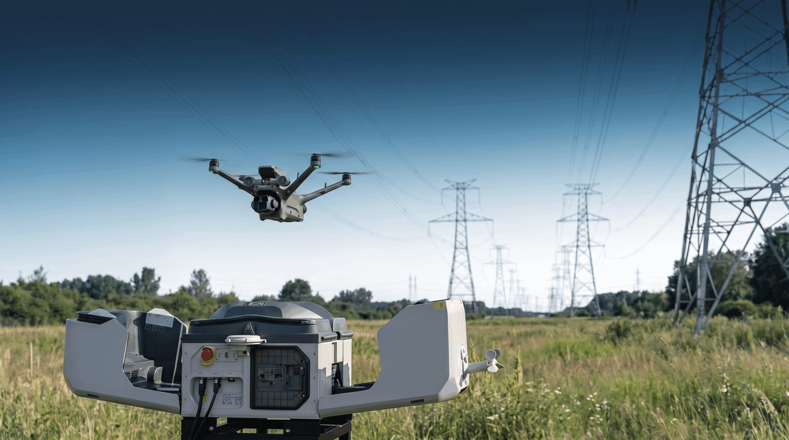
The grid section is surveyed using a pilot-operated drone, such as a DJI Matrice 400, equipped with RGB, thermal, and LIDAR sensors. Multiple towers are captured in a single flight: high-resolution close-ups of the tower structure, insulators, fittings, and cable routing from various angles. At the same time, thermal images provide hotspot data, and LIDAR scans serve as the basis for vertical measurements of the tower geometry.
All image and sensor data is uploaded directly to the cloud and is available centrally for further processing.
Data analysis
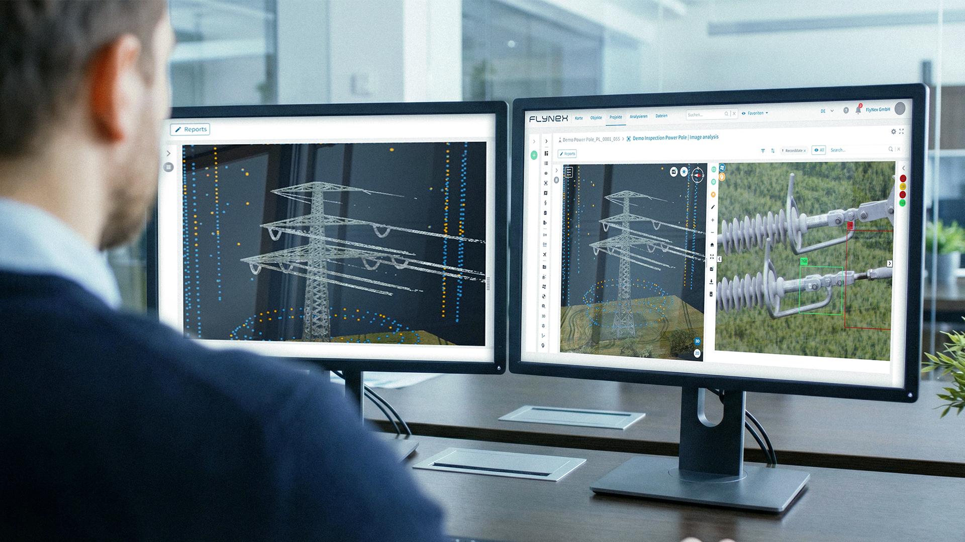
Custom-trained Vision AI analyzes image data within minutes—processing multiple towers and damage classes simultaneously:
LIDAR data enables supplementary vertical deviation measurements to assess tower inclination. All findings are localized, classified, and prepared for final review.
Reporting & Migration
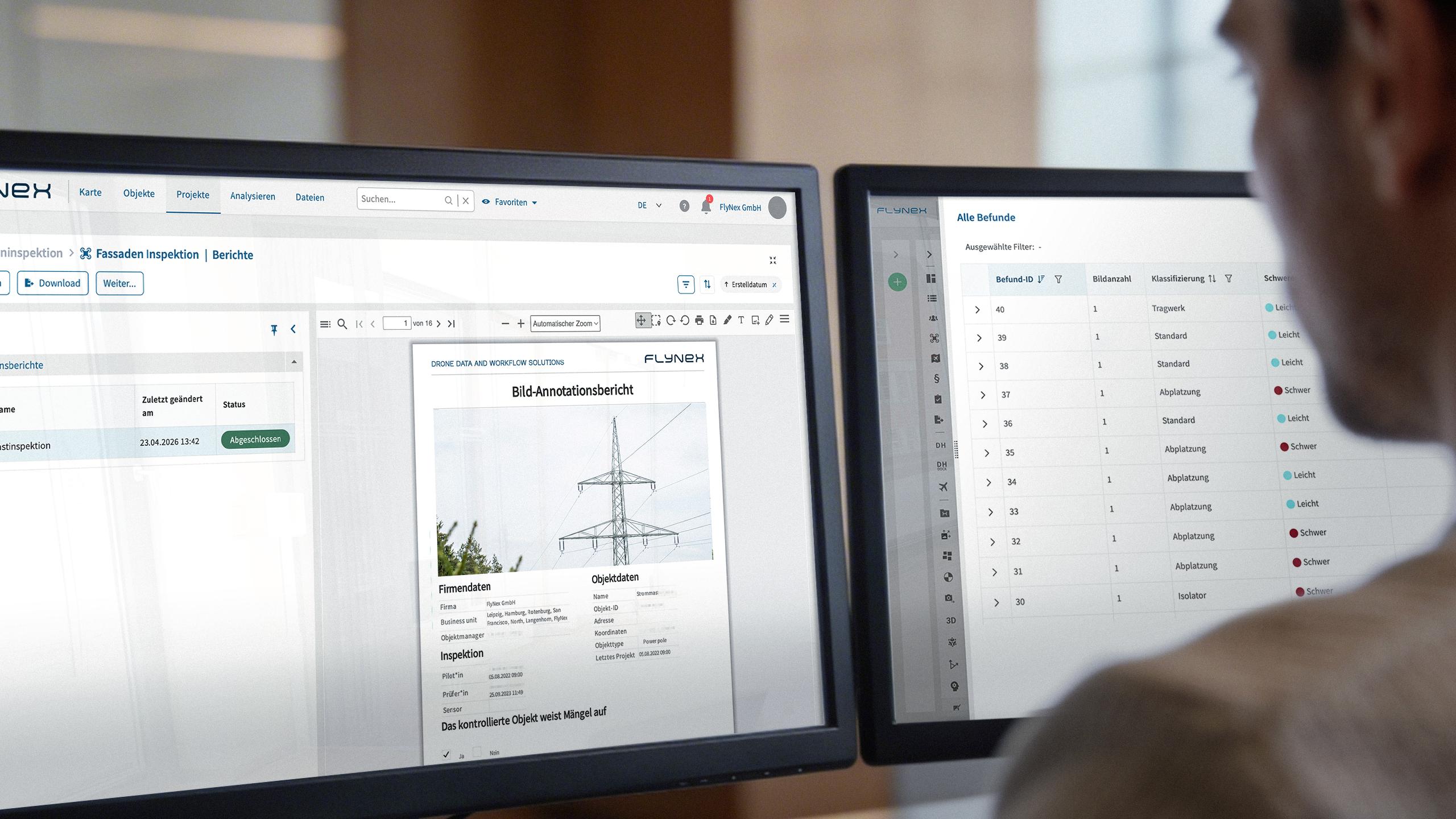
Pre-defined inspection protocols are automatically populated and distributed to stakeholders in their required format—network operators, consulting engineers, or maintenance planning.
Finding data, damage classifications, component assignments, and prioritized action recommendations are automatically migrated to downstream systems: EAM solutions (e.g., SAP PM), GIS platforms (e.g., Smallworld, ArcGIS), ERP systems, and work order management tools.
Technical Specifications:
RGB + Thermal + LIDAR, pilote-operated flight (e. g. DJI Matrice 400 with Zenmuse H30T + L2), real-time-upload.
Platform Modules:
u. a. object, project and flight planning, fleet management, 3D models and point clouds, AI evaluation and reporting.
Vision AI:
Object Detection, Image Classification, Image Segmentation, OCR – Custom-Trained, > 95 % Accuracy.
Reporting & Integration:
Configurable inspection protocols; automated finding reports and ticket generation, prioritized work orders. Integration: API/SDK-integration with ERP and EAM (e.g. SAP PM, Hexagon, Smallworld).
Benefits:
>90% faster analysis
From image acquisition to classified findings—automated instead of manual. Thousands of images in minutes instead of weeks.
Inspections without climbing
Drones are replacing inspections that require climbing—the survey is faster, safer, and delivers more precise results than any manual inspection.
End-to-End – all the way into the systems
Data collection, AI analysis, completed test reports, and automated migration to EAM, ERP, and GIS—all in a single, seamless process. Without any disruption.
FlyNex VIsion AI already in use at:

Full-Service:
The FlyNex Platform offers a complete solution set:
FlyNex
Enterprise
Platform
Modular all-in-one platform for planning, capture, analysis, and reporting—with full control over data retention.
FlyNex
Custom
Vision AI
Managed custom AI for precise image analysis: pre-trained or custom-trained with >95% accuracy and complete data retention control.
FlyNex
Integration Services
From hardware consultation to API integration: we design and automate your end-to-end infrastructure workflows.
FlyNex
Operation Services
Professional data acquisition via drone, lidar, and GNSS—including processing, AI classification, and 3D modeling.
Get in touch now
If you’d like to explore this approach for your specific infrastructure and assets, we can arrange an initial conversation to discuss your requirements.
If you’d like to explore this approach for your specific infrastructure and assets, we can arrange an initial conversation to discuss your requirements.