
Der Umgang mit digitalen Daten
Digitale Daten sind branchenübergreifend der Schlüssel zum Unternehmenserfolg. Doch die Generierung und das Handling großer Datenmengen stellen viele Unternehmen immer noch vor einige Herausforderungen. Darum haben wir die cloudbasierte FlyNex Plattform entwickelt.
Eine Software für den gesamten Prozess
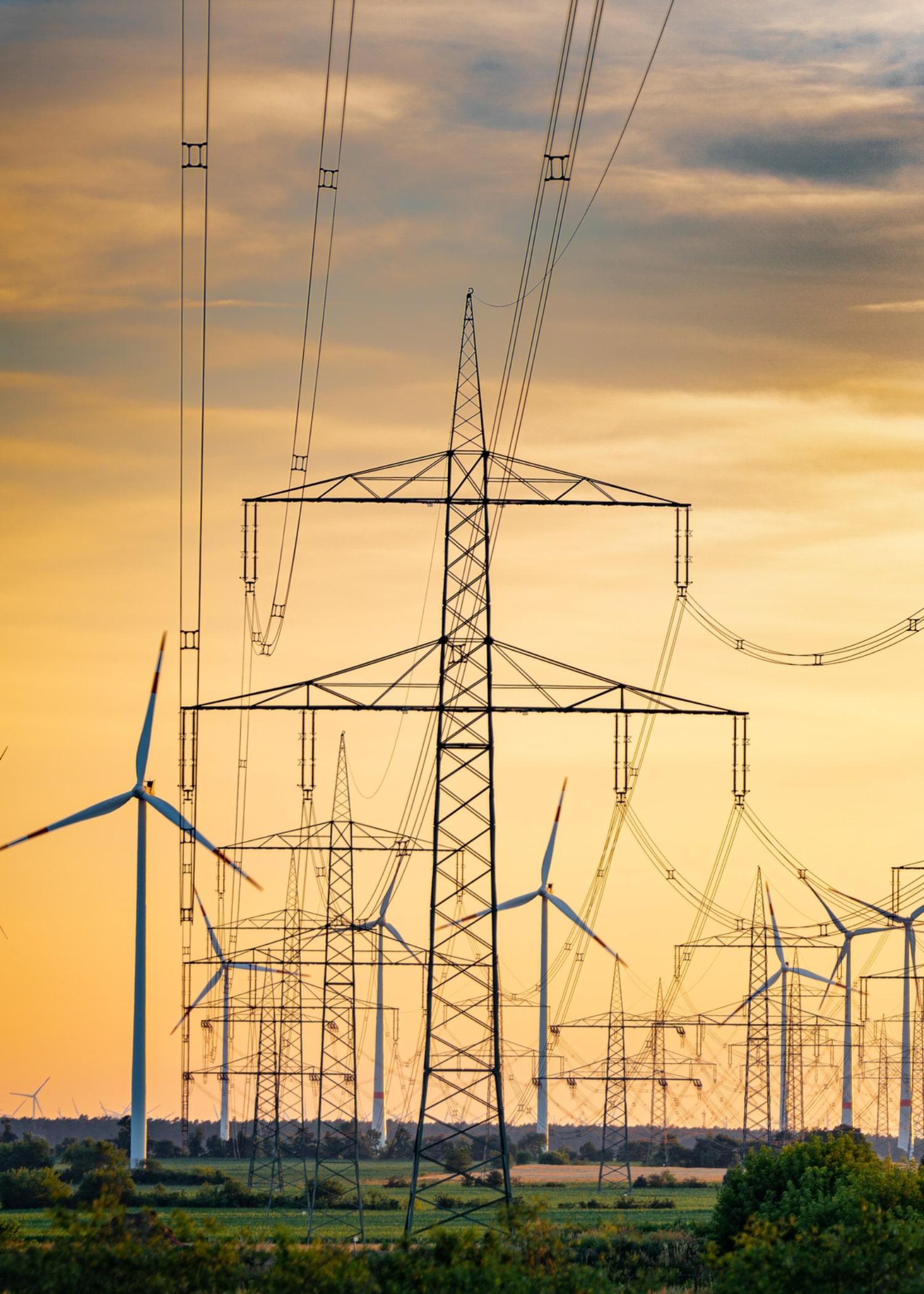
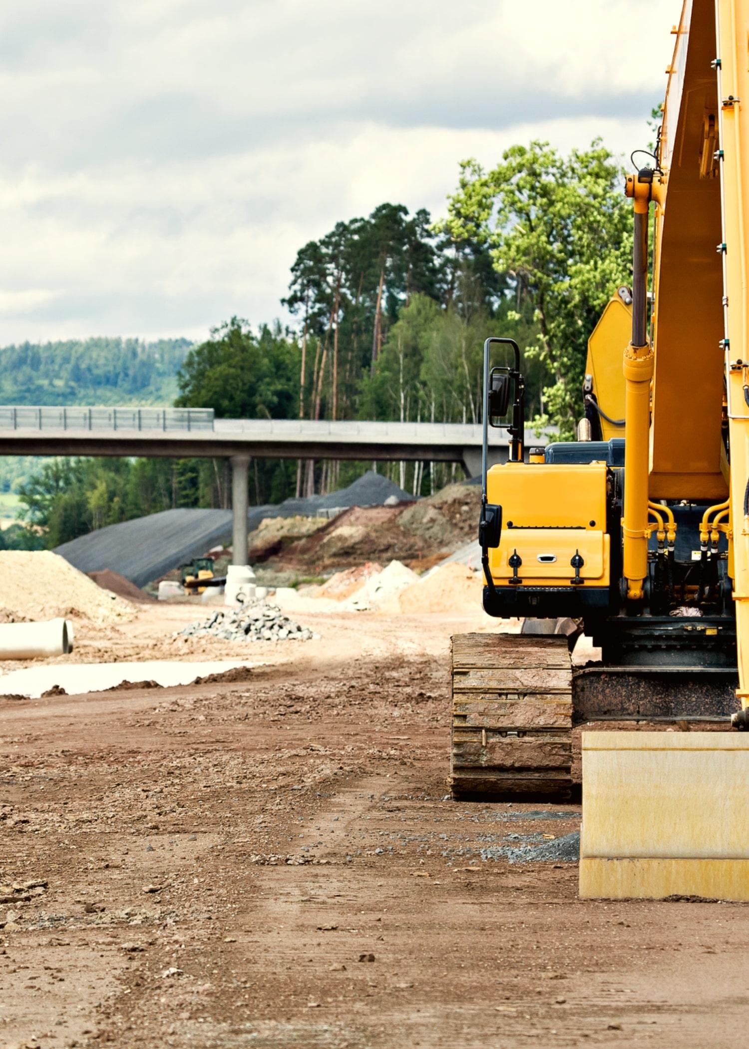
FlyNex ermöglicht es Unternehmen u. a. aus den Branchen Energie, Telekommunikation, Bau und Immobilien, Daten effizient mit innovativen Technologien zu erheben, zentral zu verwalten und intelligent zu analysieren. Anders als bei fragmentierten Lösungen, deckt die FlyNex Software einen vollständigen End-to-End-Prozess ab. Dank flexibler Schnittstellen fügt sich die Software nahtlos in Ihre Systemlandschaft ein: von der Planung über die Datenerhebung bis zur Analyse.
Schnell verfügbare Informationen
Informationen lassen sich schnell und sicher mit allen Stakeholdern über die FlyNex Plattform teilen. Dadurch wird nicht nur der Informationsfluss innerhalb des Unternehmens erleichtert, sondern auch über die Unternehmensgrenzen hinaus. Mit der FlyNex Software werden Daten zu Informationen, die es Ihnen ermöglichen, nachhaltige Entscheidungen zu treffen.

So könnte Ihr Prozess aussehen.
Mit FlyNex behalten Sie in jeder Phase die komplette Kontrolle über Ihre Daten.
1. Datenimport
Weisen Sie Standorte für Masten, Antennen, Immobilien oder andere Unternehmensassets zu. Importieren Sie hierfür eine Liste in die FlyNex Plattform.
")
Weisen Sie Standorte für Masten, Antennen, Immobilien oder andere Unternehmensassets zu. Importieren Sie hierfür eine Liste in die FlyNex Plattform.
6. Remote Inspection
Erhobene Daten können manuell oder KI-basiert ausgewertet werden. Erkennen Sie auf diese Weise Schäden und Auffälligkeiten frühzeitig, ohne dass ein Ingenieur vor Ort sein muss.
2. Projektplanung
Legen Sie den Ort Ihrer Datenerhebung kartenbasiert fest. Wählen Sie die gewünschte Sensorik für Ihre Datenerhebung.
5. Datenspeicherung
Aufgenommene Bilder werden Ihrem Unternehmensasset automatisch zugeordnet und nach höchsten Sicherheitsstandards in der FlyNex Software gespeichert.
4. Datenerhebung
Erheben Sie hochwertige Bilddaten automatisiert per Drohne. Dank der Connect App für den Drohnencontroller können Daten nach der Befliegung in die Cloud übertragen werden und stehen zur weiteren Nutzung in der FlyNex Plattform bereit.
3. Einsatzplanung
Weisen Sie einer unbegrenzten Anzahl an Teammitgliedern, Rollen und Rechte zu. Erstellen Sie Flugpläne und Flugmuster.
So arbeiten unsere Kunden mit der FlyNex Plattform.
Erleben Sie die FlyNex Plattform.
Mit den umfangreichen Funktionen und Werkzeugen neue Branchenstandards setzen.
Arbeit mit Drohnen.
Der Einsatz von Drohnen für betriebliche Zwecke war noch nie so einfach.
Arbeit mit Drohnen.
Der Einsatz von Drohnen für betriebliche Zwecke war noch nie so einfach.
Arbeit mit Drohnen.
Der Einsatz von Drohnen für betriebliche Zwecke war noch nie so einfach.
Arbeitsabläufe.
Produktivitäten steigern mit durchdachten Prozessen.
Arbeitsabläufe.
Produktivitäten steigern mit durchdachten Prozessen.
Arbeitsabläufe.
Produktivitäten steigern mit durchdachten Prozessen.
Analyse.
Holen Sie das Maximum aus Ihren Daten heraus.
Analyse.
Holen Sie das Maximum aus Ihren Daten heraus.
Analyse.
Holen Sie das Maximum aus Ihren Daten heraus.


