Plug and Play Geodaten
Valide und genaue räumliche Daten und Geoinformationen sind für die unbemannte Luftfahrt von entscheidender Bedeutung. Integrieren Sie umfassende Geodaten direkt in eigene Produkte und GIS-Lösungen. FlyNex Geosphere erlaubt es Ihnen, offizielle und valide Daten als Pay-as-you-go-Lösung zu beziehen. Räumliche Daten stellen wir „on Demand“ über gängige Schnittstellen bereit. Sprechen Sie uns bei Fragen und technischen Anforderungen an.
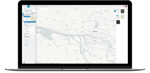
Fügen Sie Ihrer Lösung eine der umfassendsten Sammlungen an Geodaten hinzu. Erweitern Sie Ihre bestehenden Produkte um präzise Informationen und Metadaten.
Erstellen Sie individuell hochpräzise Karten und Produkte für Ihre Anwendungsfälle.
Kostenloses White Paper zu Geodata-as-a-Service
Für räumliche Abbildungen bilden qualifizierte, aktuelle Geoinformationen die Basis. Gerade für die unbemannte Luftfahrt ändern sich fortlaufend die Bedingungen. Räumlich durch physische Veränderungen und rechtlich durch zunehmende Regulierungen. In unserem White Paper Geosphere zeigen wir die Einsatzgebiete, Herausforderungen und Lösungen für die anspruchsvolle Aufgabe von Geodata-as-a-Service.