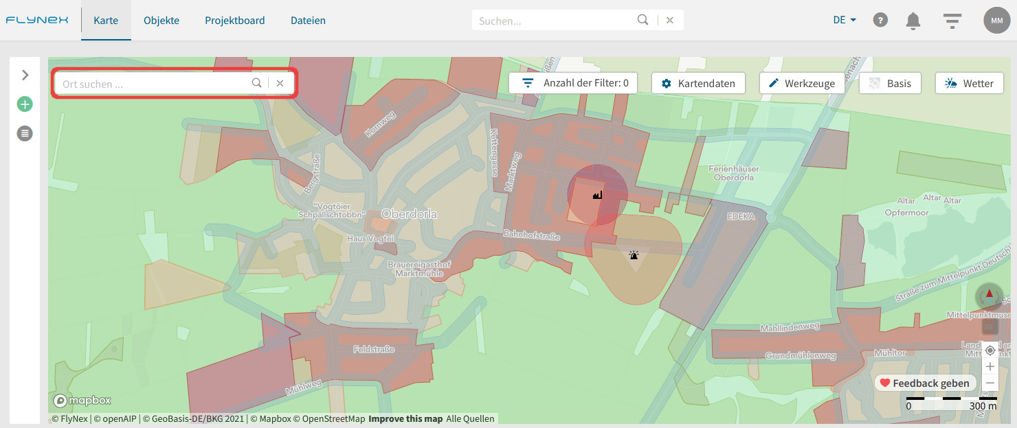
Die Karte bietet Ihnen die Möglichkeit erste Informationen zum Standort des Objekts oder Projekts einzuholen. Starten Sie zu Beginn mit der Suche nach dem gewünschten Ort, über die Eingabe am oberen linken Rand.
Nutzen der Kartenfunktionen

Anzahl der Filter
Hinterlegen Sie passende Filter, um nur ausgewählte Objekte oder Projekte auf der Karte auszugeben.
Kartendaten
Aktivieren Sie passende Kartenlayer, um rechtliche Informationen für das gewünschte Fluggebiet zu erhalten.
Werkzeuge
Vermessen Sie Strecken und Flächen im gewünschten Gebiet.
Kartentyp
Nutzen Sie verschiedene Kartentypen (z. B. Standard oder Satellit) für eine bessere Orientierung.
Wetter
Holen Sie sich aktuelle Wetterdaten für das Zielgebiet ein.
Navigationstools der Karte
Nutzen Sie hilfreiche Navigationstools zur besseren Orientierung auf Ihrer Karte. Sie finden alle Navigationstools in der rechten unteren Ecke.
