Auf der Karte haben Sie die Möglichkeit verschiedene Kartendaten als Kartenlayer einzubinden. Jeder Kartenlayer besitzt eine bestimmte Farbe und zeigt Ihnen, welche Eigenschaft ein bestimmter Ort für Drohnenflüge besitzt. Basierend auf den Auflagen, die sich in Ihrem Bereich befinden, müssen geltende Gesetze und Vorschriften eingehalten werden.
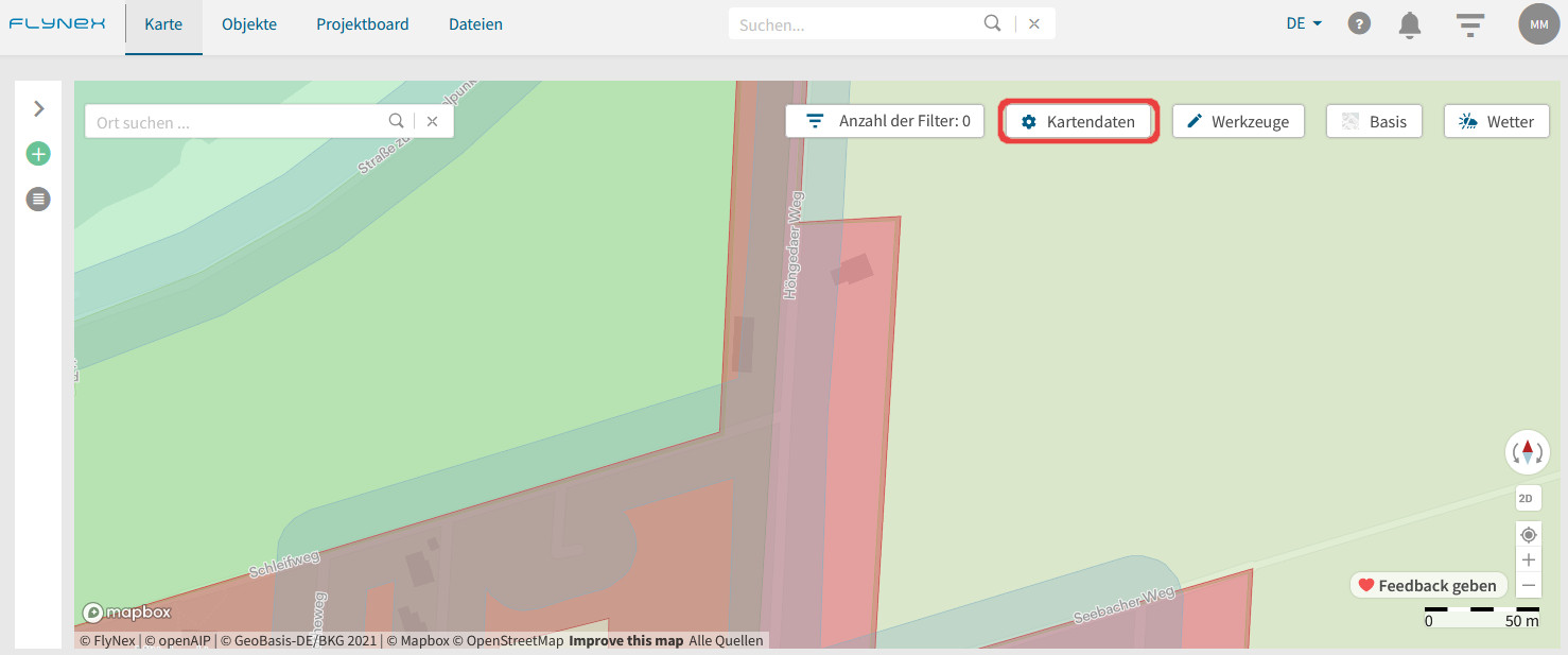
Zum Aktivieren/Deaktivieren eines Kartenlayers nutzen Sie das Tool Kartendaten auf Ihrer Karte.
Sie haben die Auswahl zwischen einer objektbasierten und einer auflagenbasierten Karte. Hier im Beitrag sind die Farben nach der objektbasierten Karte dargestellt. Weiterhin besteht die Legende aus fünf Oberkategorien:
1. Lufträume
2. Verkehr
3. Siedlung und Sicherheit
4. Energie
5. Umwelt.
Hinweis: Auch bei deaktivierten Kartenlayern werden Ihnen unverändert die Informationen im Hintergrund hinterlegt. Das heißt bei Rechtsklick in die Karte oder späterer Routenvalidierung werden alle Auflagen angezeigt (auch von deaktivierten Kartenlayern).

Zum Aktivieren/Deaktivieren eines Kartenlayers setzen Sie einfach einen Haken oder entfernen Sie diesen.
Mit Rechtsklick in der Karte am gewünschten Ort werden Ihnen die Regeln, Vorschriften und Behörden aufgeschlüsselt an der rechten Kartenseite angezeigt.
Wenn Sie mit der Maus über die Vorschriften gleiten, wird Ihnen angezeigt, für welche Fläche in der Karte die Vorschrift genau gilt, indem sie farblich hervorgehoben wird.