In der objektbasierten Anzeige werden Ihnen verschiedene Farben zu den entsprechenden Klassen (z. B. Schulen, Bundesstraßen, Agrargebiet) angezeigt. Nutzen Sie diese Ansicht, wenn Sie erfahren möchten, welche Auflagen zu welcher Klasse gehören.
In der auflagenbasierten Anzeige wird Ihnen in einem Ampelsystem die Schwierigkeit angezeigt, welche sich aus den regulatorischen Auflagen für Ihren Drohnenflug ergibt. Gelbe Bereiche haben weniger komplexe Auflagen als orange oder rote Bereiche. Diese Anzeige gibt Ihnen somit einen schnelleren Überblick und zeigt Ihnen Routenoptimierungspotenzial auf.
Kartenlegende und Daten
Die in der Karte angezeigten Informationen (Kartenlayer) sind in Objektklassen (z. B. Lufträume, Energie) unterteilt. In den Optionen zu den Kartendaten können Sie einstellen, ob und welche Objektklassen auf der Karte angezeigt werden. Jede Objektklasse besitzt dabei ihre eigene Farbe.
Hinweis: Auch bei deaktivierten Kartenlayern werden Ihnen unverändert die Informationen angezeigt, die Ihre Flugplanung betreffen. Das heißt bei Rechtsklick in die Karte oder späterer Routenvalidierung werden alle Auflagen angezeigt.
Hinterlegen von Profilen für Kartenlayer
Speichern Sie Profile für individuelle Kartenlayer-Zusammenstellungen.
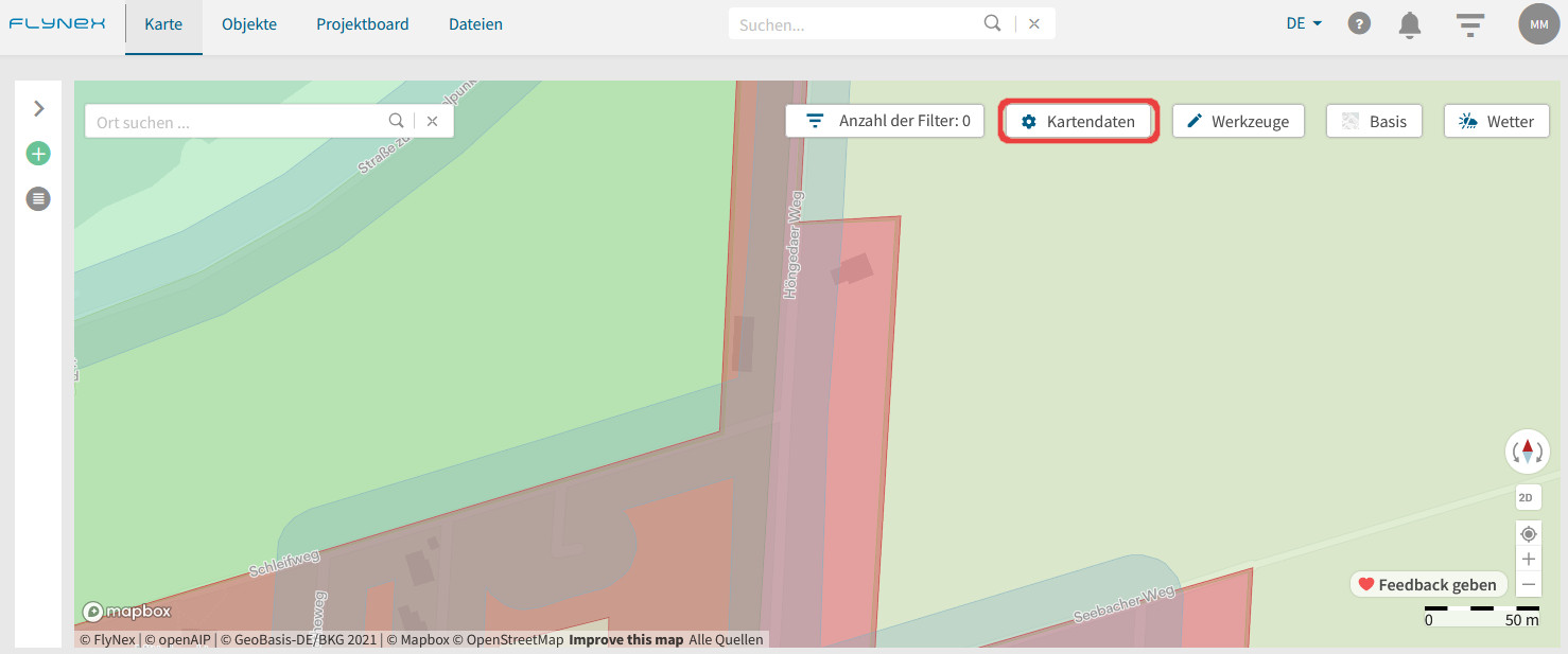
1) Wechseln Sie zu der Karte.
2) Öffnen Sie die Funktion Kartendaten.
3) Wählen Sie Ihre persönliche Zusammenstellung von Kartenlayern.
4) Klicken Sie auf Speichern und vergeben Sie einen Namen für das Profil.