Führen Sie in Kartenannotation Messungen durch oder fügen Sie zusätzliche Notizen und Symbole auf der Karte hinzu. Erhöhen Sie dabei zusätzlich die Detailgenauigkeit durch die Einbindung eines Orthofotos.
Wo finde ich die Kartenannotation?
2) Öffnen Sie die Funktion Kartenannotation.
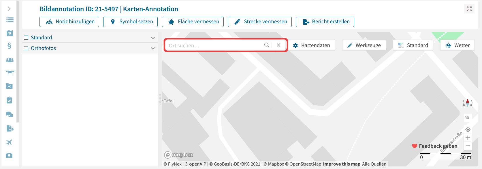
3) Lokalisieren Sie den gewünschten Ort auf der Karte durch Eingabe des Ortes oder Verschieben der Karte durch Klicken und Ziehen mit der Maus.
4) Wählen Sie zwischen verschiedenen Werkzeugen:
Setzen von Notizen und Symbolen
Wählen Sie das entsprechende Werkzeug und klicken Sie auf die gewünschte Stelle in der Karte für eine Notiz oder verschiedene Symbole. Erstellen Sie eigene Kategorien in Ihren Einstellungen.
Vermessungen durchführen
Wählen Sie das Werkzeug Fläche vermessen oder Strecke vermessen für genauere Planungsvorhaben. Erstellen Sie eigene Kategorien in Ihren Einstellungen.
Bericht erstellen
Fassen Sie alle Ergänzungen auf der Karte in einem Bericht als PDF-Datei zusammen.
Hinweis: Alle Notizen, Symbole und Vermessungen sind parallel in der Funktion Flugplanung / Karte unter Eigene Objekte verfügbar und können für die Planung einbezogen werden.
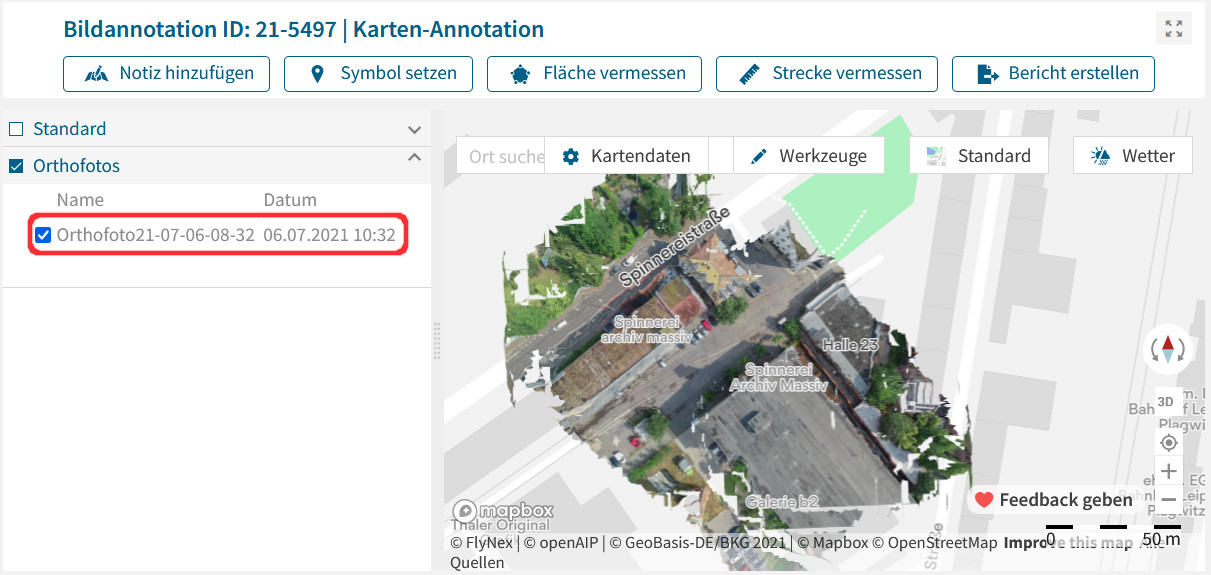
Wie kann ich ein Orthofoto einbinden?
Voraussetzung zur Einbindung ist ein fertig berechnetes Orthofoto im gleichen Projekt. Zur Aktivierung des Orthofotos setzen Sie einen Haken in der vorgesehenen Liste.
Hinweis: Sollte kein Orthofoto in der Liste vorzufinden sein, ist zunächst die Berechnung eines Orthofotos notwendig.