From simple route descriptions to property data to complex specialist topics, such as the crack survey or construction progress documentation with drones: We encounter geodata both at work and in everyday life and it can be found in almost every industry.
Caution: Not all geodata can be used!
At first glance, there is a huge amount of “free data” that the user can use for his particular question or task. But be careful: not all data that you find is easy to use. In addition to the criteria of how the data was collected, it is the quality of the data that is most important. Does the data provide the required information and is it trustworthy? For example, the data provided by the OpenStreetMap (OSM) is accessible to everyone. However, they do not guarantee consistent quality, as there are no uniform standards for data collection. Depending on the type of task, however, such “free data” can be a good supplement to official geodata. However, the “free data” has the advantage that its usually more dynamic than the official geodata. Changes are updated faster. However, caution is advised here as well: Not every updated dataset corresponds to reality!
Official data is reliable and binding
The advantage of official data is that they have been collected in a uniformed manner. They are a major component in many industries and the only one that is reliable and legally binding. When buying a plot of land, for example, you want to know exactly how large the area is on which you are building your house and for that, you are paying taxes. Furthermore, official data in a specific area, such as the tree species of a forest area, are much more differentiated than freely available geodata. But official geodata also has its disadvantages. Depending on the area, they can be somewhat outdated. The detailed list of railway lines currently under construction shows, for example, that this does not always have to be the case.
Geodata must be selected and validated
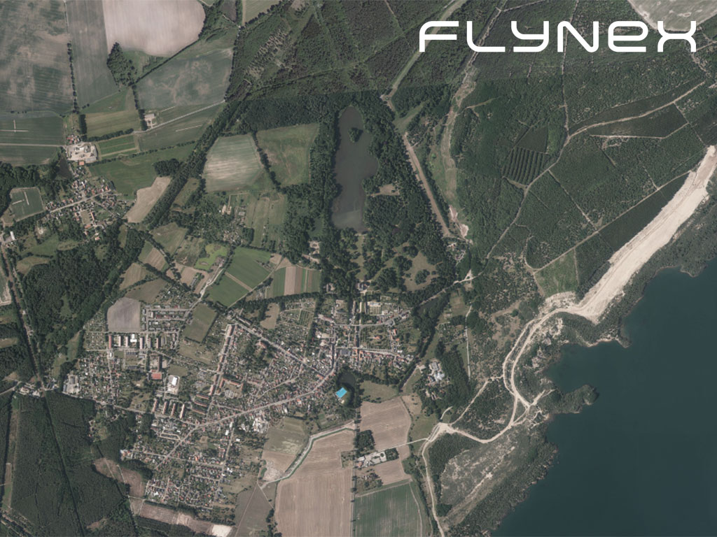
Overall, there is a large amount of available geodata that can be considered. These have to be selected and validated. In some cases, it is necessary to prepare the data (e.g. georeferencing). This is usually a complex never-ending process, since the world, and thus also the geodata is constantly changing. For a map service, which should also be usable for missions with drones, there is a special challenge. The data must be up-to-date, complete and as accurate as possible. This has to be filtered out when working with the data.
Geodata is immensely important for the economy
Geodata is immensely important in many areas of our economy. However, it can happen that all available data, whether “free data” or official data, cannot cover a particular application in a company. This is either because we use our own more up-to-date data or because no free or official data is available.
In certain cases, you can enter geodata yourself
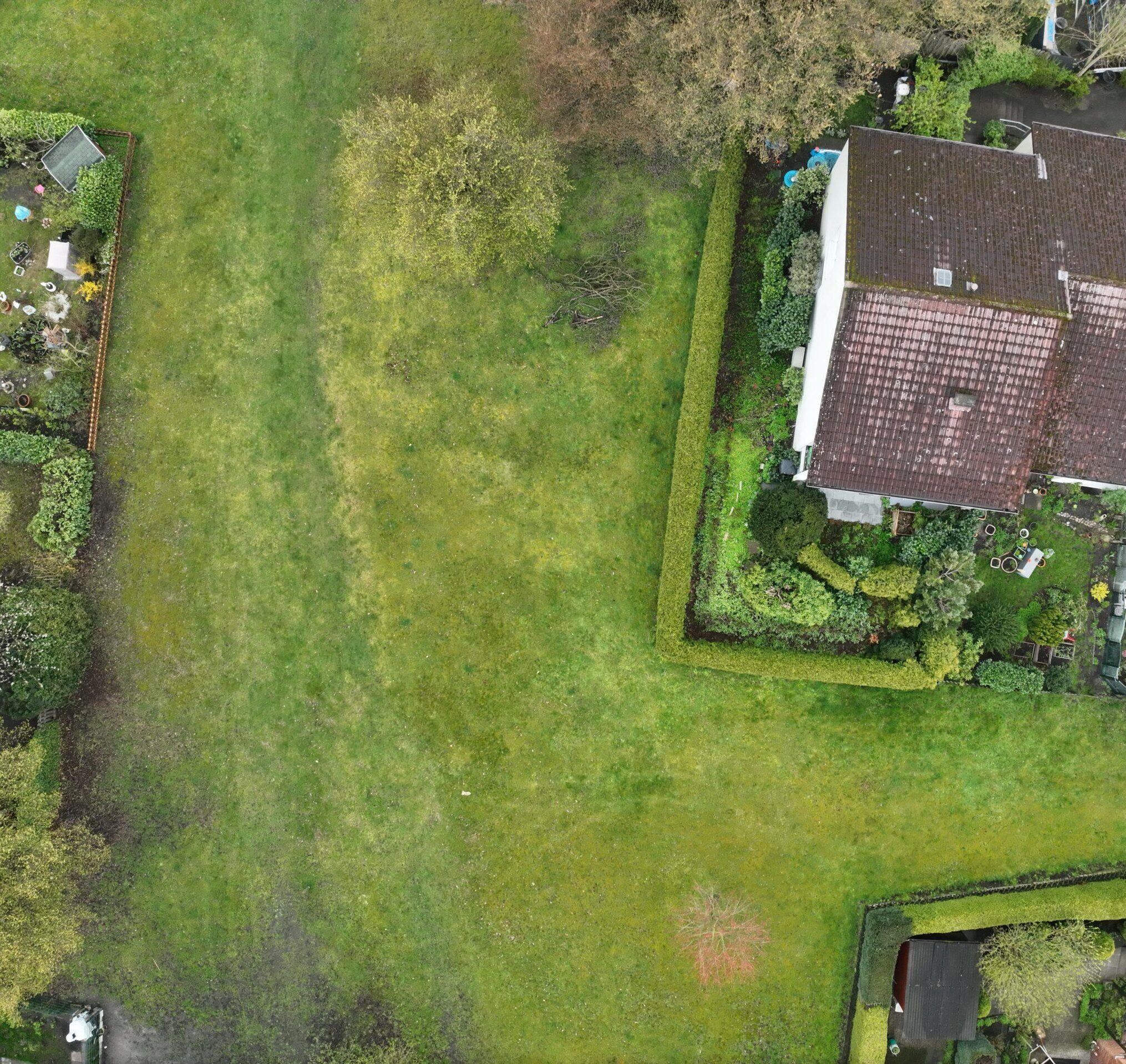
In a quarry, the mining progress and other changes must be documented. There may be “free” or official data, but in most cases, they are not up-to-date. In this special case, there is no way around collecting the geodata yourself or commissioning someone to collect it for you. This could be, for example, a surveyor who flies over the fracture with a drone and then delivers a fully reproducible 3D model of the current situation. After the next blast, however, the fracture can look completely different again and the flight would have to be repeated.
Drones offer time savings and reproducibility
Examples for the other case, namely that no data is available at all, are facade inspections, heap calculations, damage investigations on the agricultural area and many other cases. All in all, the data required for such questions can never be found in free or official sources. Interesting for the user is only the final result, which often results from the evaluations of the self-recorded data. One example could be the images taken by a thermal imaging camera of solar power systems in order to identify the damaged cells. It makes sense to collect that data yourself with a suitable drone, as it saves time and the results are reproducible. In addition, an own standard can be defined and the acquisition is done according to its own needs.
Drones as a useful tool
Especially in these areas of our economy, the potential for the use of new technologies such as drones is huge. In addition, some tasks and recording methods cannot be carried out by humans at all or only at very high costs. The drone thus becomes a useful tool for the successful implementation of projects in a company.
Try Map2Fly_Pro today without any obligation and save valuable time for your planning. Share and manage your projects with your customers and project partners and benefit from the advantages of using drones even without prior knowledge.
Do you want to stay up to date with drone applications? Then register today for our newsletter on flynex.io.
The FlyNex Team